What is recorded here
Ecclesiastical enclosure in Carrick (carrick Ed) is a sub-circular sacred ground on a steep south-facing slope in County Kildare, Ireland, where a low western scarp and a curving graveyard wall still mark its edge. Carrick Castle rises forty metres upslope to the northwest, while a holy well waits two hundred metres to the south, tying the church, the dead and the water into one living landscape. The road has bitten through the southern boundary, yet the interior remains set apart, holding a church in its eastern sector and a graveyard in the rest.
On a steep S-facing pasture slope just off the crest of Carrick Hill, with Carrick Castle (KD002-009----) c. 40m upslope to the NW, and a holy well (KD002-008----) c. 200m to the S. A sub-circular area (int. diams. c. 37.5m NE-SW: c. 32m NW-SE) is defined by a low scarp (H 1m) W-NNW and by a curving modern graveyard wall NNW-S which overlies the older enclosure line. A road truncates the enclosing line S-W. A church (KD002-010002-) stands in the E sector and a graveyard (KD002-010003-) occupies the rest of the interior.
Compiled by: Gearóid Conroy
Date of upload: 10 June 2011
The monument record does not grant public access. Check the route and ask the landowner before entering private land.
- What survives
- Recorded monument
Places near here
 Carrick CastleCastle, hall-house · 59 yd
 TobercroHoly well · 254 yd
 Bow WoodWood · 668 yd
 Well WoodWood · 1482 yd
 Enclosure in KinnafadEnclosure · 1637 yd
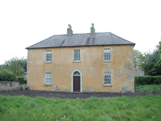 Grange Housefarm house · 1.0 mi
 Grange CastleCastle, tower house · 1.3 mi
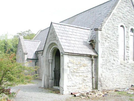 Rahanchurch/chapel · 1.5 mi
 Croppies' GraveMemorial · 4.4 mi
 The Fairy BowerHeritage attraction · 8.2 mi
 Lullymore Heritage ParkHeritage attraction · 8.2 mi
 Sli na Slainte - mapVisitor information · 8.5 mi