What is recorded here
Fairy fort / earthen ringfort in Carnpark is a fairy fort or earthen ringfort in Carnpark, County Westmeath, Ireland. The 1973 description notes a roughly circular area thirty-five metres in diameter defined by an earthen bank and external fosse, with the bank best preserved from the south to the southeast. The exterior ditch is narrow and shallow, showing its best survival from the southwest through the west to the northwest, while the perimeter has been incorporated into a modern field fence from the northeast through the east to the southeast.
Situated on a rise, on the summit of a large ridge running N-S, in pasture, with extensive views of the surrounding landscape. Depicted on the revised 1910 ed. OS 25-inch map as a subcircular-shaped earthwork. Monument described in 1973 as a roughly circular-shaped area (diam. 35m) defined by a bank and external fosse. The earthen bank is best preserved from S-SE and elsewhere is low and almost reduced to a scarp. The remains of a small stone shed have been cut into the bank at NNE. There is a narrow ledge-like feature at the base of the bank at S. The fosse is narrow and shallow and is best preserved from SW-W-NW. The perimeter has been incorporated into a modern field fence from NE-E-SE. A second field fence runs NW-SE to the immediate N of the monument. There are no indications of an entrance but there is a disturbance gap at W. The interior rises slightly to the centre from the N and W. Monument is visible today as a roughly circular-shaped tree-lined earthwork on Digital Globe aerial photography.
Compiled by Alison McQueen, Vera Rahilly and Caimin O’Brien.
Date of upload: 08 November 2019
The monument record does not grant public access. Check the route and ask the landowner before entering private land.
- What survives
- Recorded monument
Places near here
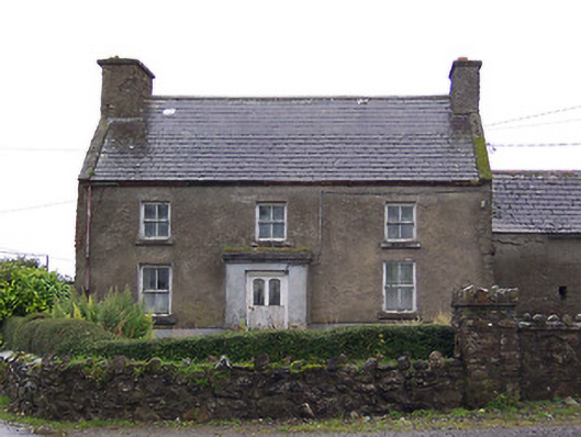 Nahod Beag Househouse · 962 yd
 Settlement cluster in CarnparkSettlement cluster · 999 yd
 IndicatedEnclosure · 1006 yd
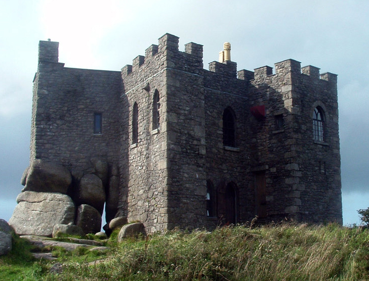 Carn CastleCastle, tower house · 1148 yd
 TullymagawlyBawn · 1.1 mi
 outbuildingoutbuilding · 1.1 mi
 Dún na SíMuseum · 3.0 mi
 Dún na Sí Heritage CentreMuseum · 3.0 mi
 Charles BianconiMemorial · 3.7 mi
 Moate HillMountain / peak · 3.9 mi
 European ashEuropean ash · 4.5 mi