
What is recorded here
Carheenshowagh holds a forgotten room beside its ringfort. Grass smothers collapsed limestone walls across forty-five metres, yet a small rectangular base still resists forgetting. Perhaps people lived there, loved there, and disappeared into the story we now call history. The field remembers what tongues have forgotten.
Immediately NNE of a ringfort (GA057-074001-). A series of grassed-over collapsed limestone walls cover a rectangular area 45m N-S by 25m E-W. The remains of a rectangular structure (E-W; L 4m, Wth 2.2m) are also visible. (CUCAP BDN 79)
The above description is derived from the published 'Archaeological Inventory of County Galway Vol. II - North Galway'. Compiled by Olive Alcock, Kathy de hÓra and Paul Gosling (Dublin: Stationery Office, 1999).
Date of upload: 05 August 2010
The monument record does not grant public access. Check the route and ask the landowner before entering private land.
- What survives
- Recorded monument
Places near here
 IndicatedFairy fort / ringfort · 432 yd
 Castle (in ruins)Castle, tower house · 1.0 mi
 Corrofin CastleCastle · 1.2 mi
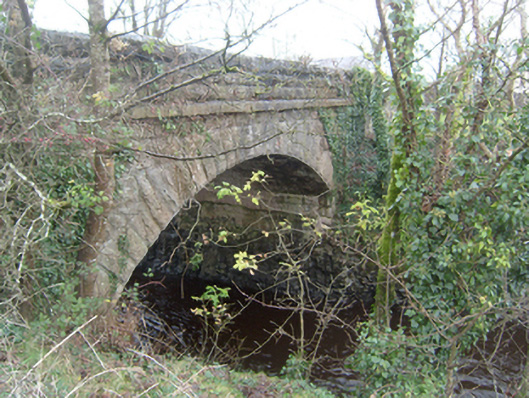 Corrofin Bridgebridge · 1.2 mi
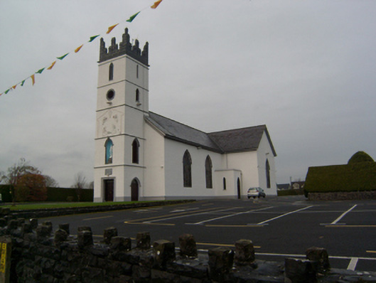 Saint Colman's Catholic Churchchurch/chapel · 1.2 mi
 Stone CircleFairy fort / stone ringfort · 1.5 mi
 KnockmaaWood · 3.9 mi
 Cregg Castle DemesneForest · 5.2 mi
 Kilcoona Round TowerHeritage attraction · 5.9 mi
 Mass RockNamed rock · 6.0 mi
 Oileán an AoilIsland · 9.2 mi
 Walsh's IslandIslet · 9.4 mi
Other information
Photo: Credit not shown in the picture search · Rights wording not checked; contact us if this picture should be removed