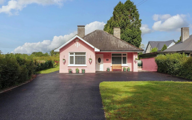
What is recorded here
Kylenanny Burial Ground is a disused children's burial ground on a steep east-facing slope in County Limerick, marked on maps from 1840 to 1927. It remains as a sub-circular scarped area measuring 3.7 metres across, with no gravemarkers visible. The absence of markers and the disused label suggest a forgotten place where local families may have laid infants to rest before records kept their names.
Situated immediately SW of a field boundary, in pasture on a steep E-facing slope. Named as Kylenanny Burial Ground on the 1840 OS map and as 'Kylenanny Burial Gd. (Disused)' on the 1927 OS map. Now evident as a sub-circular area (diam. 3.7m) defined from E to SW by a scarped edge (Wth 2.1m; H 0.3m). No evident of any gravemarkers apparent.
Compiled by: Denis Power
Date of upload: 3 July 2013
Neolithic passage tomb; dates to the 4th–3rd millennium BCE. Its long-standing documentation on Ordnance Survey maps highlights its historical recognition as a significant prehistoric burial site.
The monument record does not grant public access. Check the route and ask the landowner before entering private land.
- What survives
- Recorded monument
Places near here
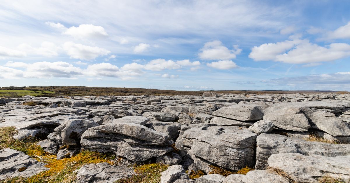 BarrowBarrow, unclassified · 963 yd
 Field system in RathField system · 1103 yd
 KilnKiln, corn-drying · 1109 yd
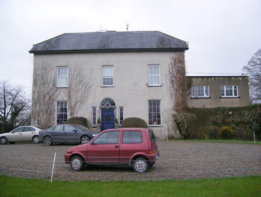 Abington Rectoryrectory/glebe/vicarage/curate's house · 1196 yd
 Bawn in RathBawn · 1257 yd
 Graveyard in AbingtonGraveyard · 1.5 mi
 Castle (in ruins)Castle, Anglo-Norman masonry castle · 1.6 mi
 Sliev Felim WayVisitor information · 1.7 mi
 Slieve Felim WayWalking route · 3.7 mi
 KnockseefinMountain / peak · 4.6 mi
 Slieve FelimMountain / peak · 4.7 mi
 ToberagaddySpring · 5.0 mi
Other information
Photo: Credit not shown in the picture search · Rights wording not checked; contact us if this picture should be removed