What is recorded here
Camas holds a broken ring of two earthen banks and wet ditches, wide enough for thirty paces but cut through by later field lines. The western edge still rises in shallow ridges while rushes choke the centre, suggesting people once shaped the land before forgetting the name of the work. It is not a fairy tale, though it has become one: a human fort reduced to a mystery the pasture keeps alive.
In level pasture. Circular area (diam. c. 30m) truncated on E side by N-S field boundary and crossed by another field boundary near its N end. Enclosing element of two concentric earthen banks has been substantially levelled but is now best preserved WSW-NW: inner bank (int. H 0.35m; ext. H 0.15m); intermediary fosse (D 0.4m; Wth 7.8m); external bank (int. H 0.4m; ext. H 0.4m); external water-logged fosse (D 0.4m; Wth 5.5m). Possible entrance at (Wth 6m) at SSW. Interior has slightly uneven surface and is partially covered by rushes.
Compiled by: Denis Power
Date of upload: 26 August 2011
The monument record does not grant public access. Check the route and ask the landowner before entering private land.
- What survives
- Recorded monument
Places near here
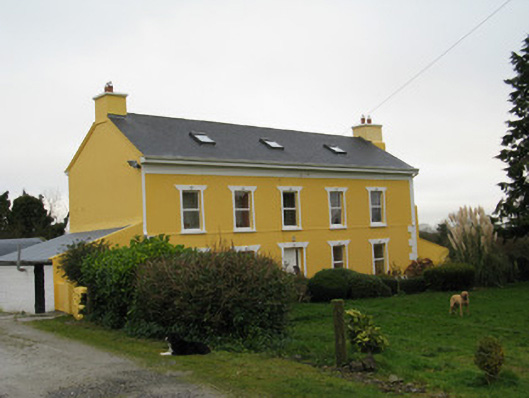 Camas Househouse · 868 yd
 Mound in CamasMound · 1494 yd
 Enclosure in CamasEnclosure · 1669 yd
 Moanleanna Househouse · 1.3 mi
 Dotted outlineBawn · 1.5 mi
 Saint Ite's WellSpring · 1.6 mi
 Glenquin CastleCastle · 2.6 mi
 Ballagh MountainMountain / peak · 2.7 mi
 Garbally WellSpring · 5.0 mi
 Limerick GreenwayWalking route · 5.4 mi
 Sugar HillMountain / peak · 5.5 mi
 Mullaghareirk - Banane LoopWalking route · 6.1 mi