What is recorded here
Fulacht fia in Caltragh (tireragh By., Rathmacurkey Ed) is a fulacht fia in Caltragh (tireragh By., Rathmacurkey Ed), County Sligo, Ireland. The site occupies a low elevation in the Owenykeevan River valley, 12m west of the river bank. A roughly oval mound measures about 15m north-south and 10m east-west, containing angular stone fragments in black soil. Its northern end holds a circular rise about 9m across, 0.4m high and 0.7m high at the northwest, while a shallower depression about 3.6m east-west and 2m north-south at the east may mark the trough.
In pasture/grazing, in the valley bottom of the Owenykeevan River, 12m W of the river bank. The fulacht fia is located on a low elevation around which the course of the river bends. It appears as a roughly oval, grass-covered mound (c. 15m N–S by c. 10m E–W) composed of angular stone fragments in black soil. At its N end is a pronounced circular rise (diam. c. 9m; H 0.4m; 0.7m at NW), which represents a relatively intact portion of the mound. This merges at S with a more irregular-shaped rise, which appears also to be part of the fulacht fia, but has an uneven, rather disturbed surface, and poorly defined limits. There is a hollow or depression (c. 3.6m E–W; c. 2m N–S) at E which may mark the location of the trough.
Compiled by: Jane O'Shaughnessy
Date of upload: 23 April 2014
The monument record does not grant public access. Check the route and ask the landowner before entering private land.
- What survives
- Recorded monument
Places near here
 CaveMan-made underground passage · 643 yd
 IndicatedEnclosure · 1724 yd
 CastleCastle, unclassified · 1.1 mi
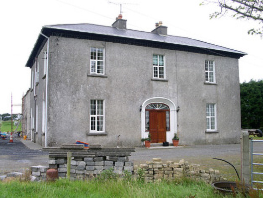 Oghil Housecountry house · 1.4 mi
 Ballynahowna CastleCastle, tower house · 1.8 mi
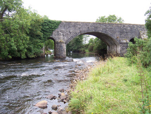 bridgebridge · 1.9 mi
 Split RockNamed rock · 2.3 mi
 Wild Atlantic Way: Easky PierVisitor information · 2.7 mi
 Bunowna PointHeadland · 2.8 mi
 Jim Smith MemorialMemorial · 2.9 mi
 Wild Atlantic Way: Inishcrone PierVisitor information · 5.7 mi
 Grave of the Black PigArchaeological place · 6.1 mi