What is recorded here
Enclosure in Caldraghmore is a broken oval fort at the south-west end of a low ridge in County Longford, marked on the 1837 map but now cut through by cattle and field boundaries. Its steepened bank, narrow entrance and faint inner mounds suggest a small defended or ceremonial place rather than an ordinary farm feature. Local tradition also connects it with a children’s burial ground, giving the pasture a sudden edge of loss beneath its quiet openness.
At the SW end of a low ridge in pasture. Depicted as an oval-shaped enclosure with the designation 'Fort' on the 1837 ed. of the OS 6-inch map. A raised oval area (76.3 NW-SE; 47.1m NE-SW) enclosed by a low bank of earth and stone (Wth 6.8m; H 1.1m) that is punctuated by cattle breaks. The outer face of the bank has been steepened and is incorporated into a field boundary. At its outer foot from S-N-NNE are a modern field drain and a pathway. There is no definite evidence of a fosse. A break (Wth 3.1m) in the bank at SE may mark the original entrance. A series of low, irregularly shaped mounds of earth and stone are visible within the interior. A report in 1976 (SMR file) noted that the NW quadrant was separated from the rest of the interior by two banks of earth and stone, neither of which survives. The monument may have been used as a children's burial ground (see LF018-022002-).
Compiled by: Patrick F. O'Donovan
Date of upload: 26 August 2011
The monument record does not grant public access. Check the route and ask the landowner before entering private land.
- What survives
- Recorded monument
Places near here
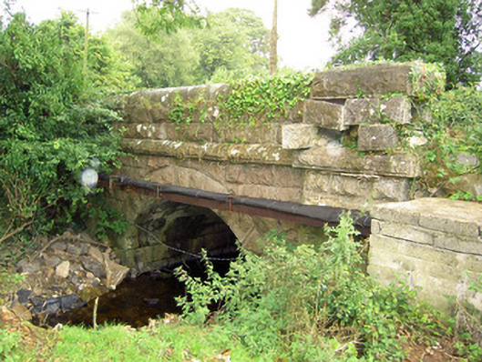 bridgebridge · 776 yd
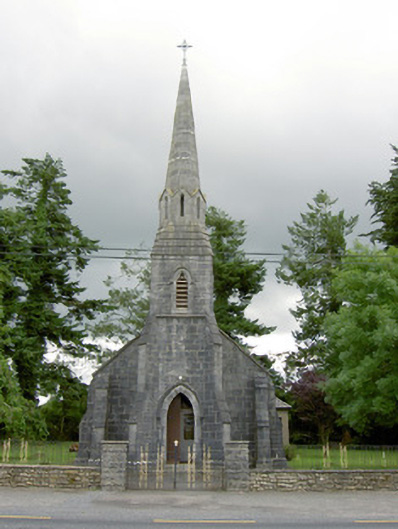 Saint Anne's Catholic Churchchurch/chapel · 839 yd
 Site of Kers GraveMegalithic tomb · 1521 yd
 Graveyard in Curry (ardagh By., Coolamber Ed)Graveyard · 1615 yd
 Enclosure in AghantrahEnclosure · 1.2 mi
 CastleCastle, tower house · 1.5 mi
 First World War MemorialMemorial · 3.7 mi
 Saint Mel's CathedralCathedral · 3.8 mi
 Bawn in AbbeycartronBawn · 3.9 mi
 Commons North WalkVisitor information · 6.8 mi
 Wild birdsVisitor information · 6.8 mi
 White Sand WoodWood · 6.9 mi
Other information
Photo: Credit not shown in the picture search · Rights wording not checked; contact us if this picture should be removed