What is recorded here
Mnemo records a possible round cairn at Cairn, but no visible surface trace remains. Wright saw enough shape in 1758 to draw it, while the land has since taken back its outline. What is left is a point on the edge of belief, where memory wants a marker but the soil offers only silence.
The following description is derived from both the published 'Archaeological Inventory of County Louth' (Dublin: Stationery Office, 1986) and the 'Archaeological Survey of County Louth' (Dublin: Stationery Office, 1991). In certain instances the entries have been revised and updated in the light of recent research.
Date of upload/revision: 17 July 2007
Wright (1758, 8-9, Pl. 2, Site B) records a possible round cairn. No visible surface trace.
The monument record does not grant public access. Check the route and ask the landowner before entering private land.
- What survives
- Recorded monument
Places near here
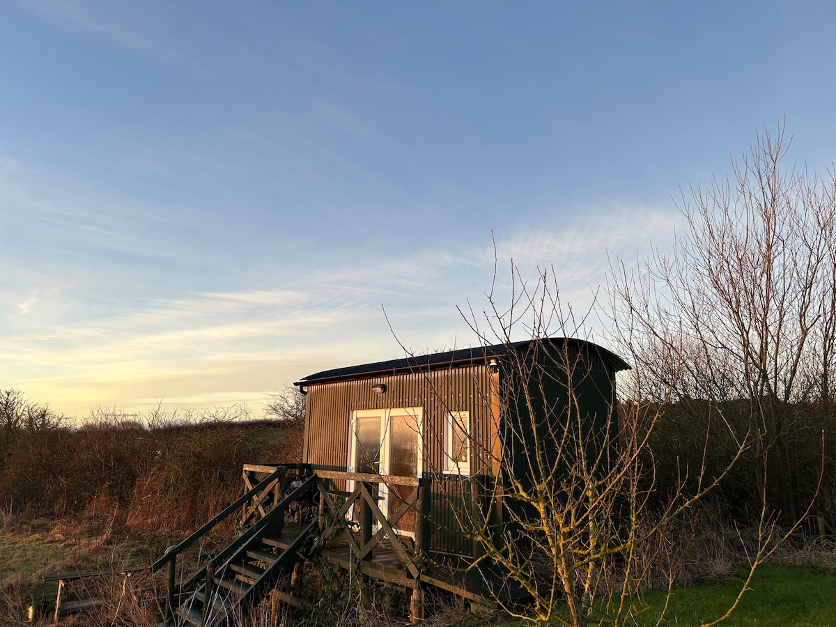 Hut site in CarrickedmondHut site · 294 yd
 TumulusCastle, motte and bailey · 914 yd
 Enclosure in RaskeaghEnclosure · 924 yd
 Raskeagh FortCastle, motte and bailey · 1294 yd
 Saint Brigid's Catholic Churchchurch/chapel · 1354 yd
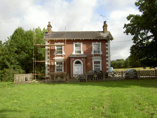 Millbrook Housemiller's house · 1.1 mi
 MonascreebeMountain / peak · 1.1 mi
 TievecromMountain / peak · 1.7 mi
 Battle of FaughartMajor battlefield · 2.0 mi
 Forkhill Greenspace PathwayWalking route · 2.1 mi
 Ring of Gullion Way - ForkhillVisitor information · 2.1 mi
 Ring of Gullion Way - Section 3Walking route · 2.2 mi