What is recorded here
In tillage. A circular enclosure (diam. c. 40m) identified on Google Earth Pro imagery (imagery date 22 June 2018) by Jean-Charles Caillère. The enclosure is clearly defined by a fosse (Wth c. 3m).
See attached photograph:
TS077-124----_01 Image ©2019 CNEW/Airbus: Google Earth Pro satellite imagery (22 June 2018)
Compiled by: Jean Farrelly
Date of upload: 10 December 2019
The monument record does not grant public access. Check the route and ask the landowner before entering private land.
- What survives
- Recorded monument
Places near here
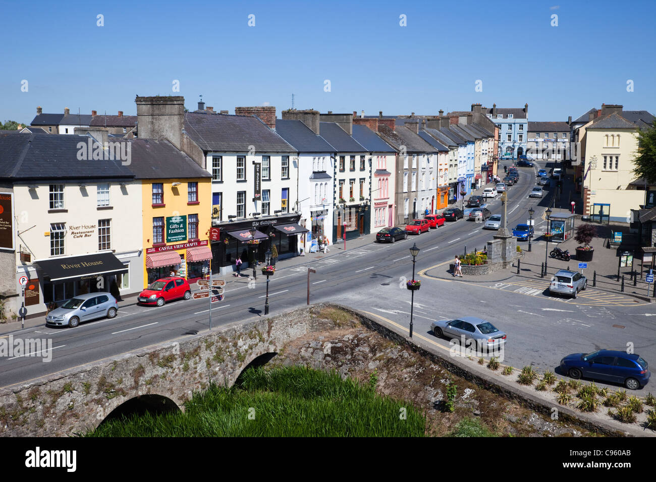 No indicatedEnclosure · 510 yd
 IndicatedHoly well · 624 yd
 CastleCastle, ringwork and bailey · 1216 yd
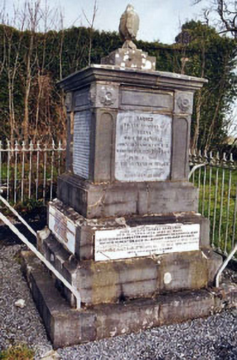 Rathronan Churchmonument · 1465 yd
 RathronanCastle, ringwork · 1646 yd
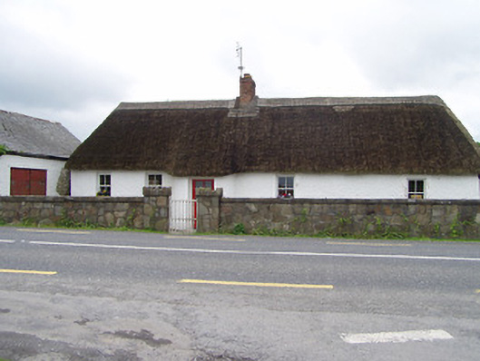 The Thatchhouse · 1.1 mi
 Persian WalnutPersian Walnut · 1.4 mi
 Pedunculate OakPedunculate Oak · 2.0 mi
 Charles BianconiMemorial · 3.1 mi
 Main GuardHeritage attraction · 3.1 mi
 John HackettMemorial · 3.1 mi
 Merchant's HouseVisitor information · 3.2 mi