What is recorded here
Located on a gentle E and NE-facing slope, with the headwaters of small streams that flow c. 450m NE to the NW-SE River Corock c. 100m to the NE and SE. This is an oval mound (dims. 16m N-S; 11m E-W; H 0.4m) composed of broken and burnt stones with a grass covering. Burnt mound (WX040-084----) is c. 230m to the S. It can be seen as a dark stain on the aerial photographs of Google Earth (2010).
The above description is derived from the published 'Archaeological Inventory of County Wexford' (Dublin: Stationery Office, 1996). In certain instances the entries have been revised and updated in the light of recent research.
Compiled by: Michael Moore
Date of upload/revision: 21 February, 2013
Burnt mound in Rosspile is a Neolithic ritual or industrial site, dating to the 4th to 3rd millennia BCE. Its significance lies in providing evidence of early human activity, possibly related to heat treatment of stones for ceremonial or practical purposes.
The monument record does not grant public access. Check the route and ask the landowner before entering private land.
- What survives
- Recorded monument
Places near here
 IndicatedField boundary · 767 yd
 farm housefarm house · 804 yd
 Field system in RosspileField system · 1057 yd
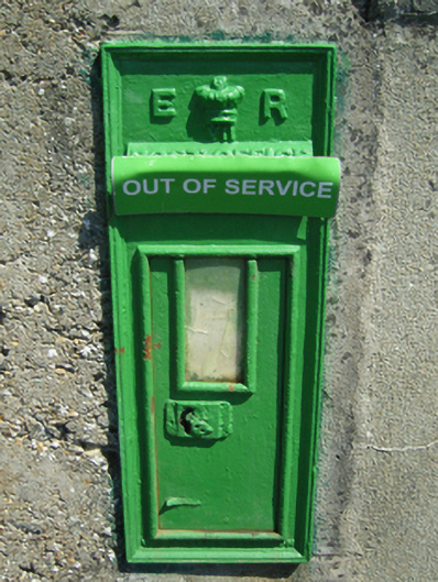 post boxpost box · 1217 yd
 Coolcliffe HouseRuins · 1728 yd
 CastleCastle, tower house · 1.5 mi
 Bryanstown Ho.Castle, tower house · 1.9 mi
 Lockheed Hudson AM885 MemorialMemorial · 4.3 mi
 Carrig-On-BannowVisitor information · 4.6 mi
 1798 MemorialMemorial · 4.7 mi
 Carrickbyrne HillMountain / peak · 4.7 mi
 Cullenstown StrandBeach / strand · 6.2 mi