What is recorded here
Located on a gentle N-facing slope at the N base of Ballydonigan Hill and overlooking a small E-W valley, with the stream c. 160m to the N. There are local reports of an area of dark earth and burnt stone visible when the area is ploughed.
The above description is derived from the published 'Archaeological Inventory of County Wexford' (Dublin: Stationery Office, 1996). In certain instances the entries have been revised and updated in the light of recent research.
Compiled by: Michael Moore
Date of upload/revision: 7 June, 2012
Burnt mound in Myaugh is a Bronze Age ritual or industrial site, characterized by heated stones and associated features. Its location suggests a possible role in ceremonial activities or heat-related processes, typical of such mounds in the broader Irish context.
The monument record does not grant public access. Check the route and ask the landowner before entering private land.
- What survives
- Recorded monument
Places near here
 Not idicatedFairy fort / earthen ringfort · 171 yd
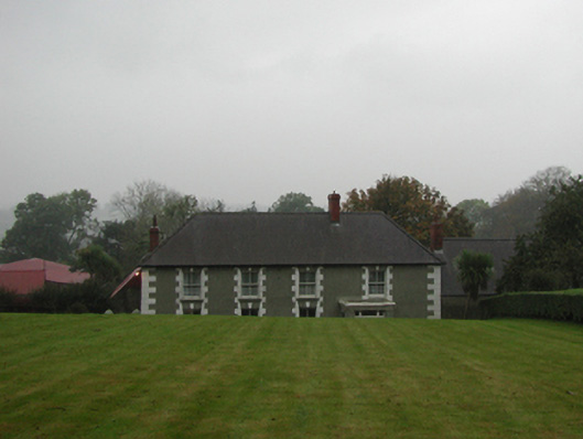 farm housefarm house · 181 yd
 Fulacht fia in EffernogeFulacht fia · 944 yd
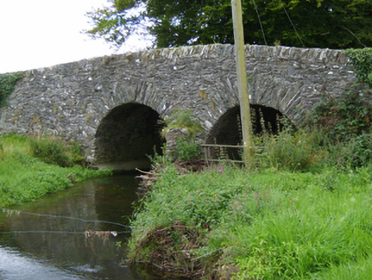 Tinnacross Bridgebridge · 1156 yd
 U.N. Peace MemorialMonument · 5.3 mi
 Battle of Vinegar HillMajor battlefield · 5.3 mi
 Duffry GateMemorial · 5.4 mi
 National 1798 CentreMuseum · 5.5 mi
 Daphney CastleCastle, unclassified · 6.5 mi
 European LarchEuropean Larch · 7.0 mi
 European YewEuropean Yew · 7.1 mi
 CastleCastle, ringwork · 7.1 mi