What is recorded here
Situated on the floodplain of the W-E River Suir, c. 300m S of the river. Oval area of burnt and broken stone (dims. 16.5m N-S; 10m E-W; T 1.25m) visible when ploughed. Investigated during the laying of a Bord Gáis pipeline. (M. Gowan fieldnotes)
The above description is derived from the published 'Archaeological Inventory of County Waterford' (Dublin: Stationery Office, 1999). In certain instances the entries have been revised and updated in the light of recent research.
Date of upload/revision: 23 December 2008
Burnt mound in Coolnamuck Demesne is a Neolithic ritual or industrial site, dating to c. 2500–2000 BCE. Its significance lies in providing evidence of early human activity and land use in the River Suir floodplain.
The monument record does not grant public access. Check the route and ask the landowner before entering private land.
- What survives
- Recorded monument
Places near here
 Coolnamuck Courtfolly · 316 yd
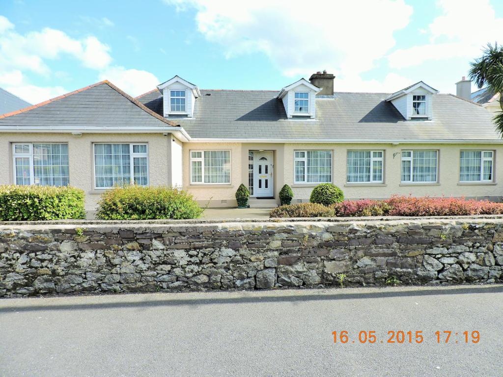 St Anthonys WellHoly well · 332 yd
 Burnt mound in Coolnamuck DemesneBurnt mound · 412 yd
 Coolnamuck Castke (in Ruins)Castle, tower house · 1313 yd
 Corragina Millmill (water) · 1355 yd
 Coolnamuck Wood WestForest · 1.4 mi
 Ormonde CastleHeritage attraction · 1.6 mi
 CastleCastle, Anglo-Norman masonry castle · 1.6 mi
 Thomas KielyMemorial · 2.2 mi
 Churchtown WoodForest · 2.3 mi
 CarrigfenoaghMountain / peak · 2.6 mi
 Curraghdobbin HillMountain / peak · 4.3 mi