What is recorded here
Located towards the top of a steep NW-facing slope down to the NE-SW River Slaney, c. 400m to the NW. Archaeological testing (07E1024) of an extensive area produced evidence of a burnt mound in two layers of broken and burnt stones (dims. 4.4m x 0.95m; T 5cm: 4.5m x 1.8m; max. T 0.35m) c. 1.5m apart. Burnt mound (WX020-075----) is c. 70m to the S. (Carroll 2010; Prunty 2007, 19)
Compiled by: Michael Moore
Date of upload: 7 June, 2012
Burnt mound in Clonhasten is a prehistoric ritual or domestic site, likely dating to the Neolithic or Early Bronze Age. Its significance lies in providing evidence of heat-related activities, possibly for cooking, water heating, or ceremonial purposes.
The monument record does not grant public access. Check the route and ask the landowner before entering private land.
- What survives
- Recorded monument
Places near here
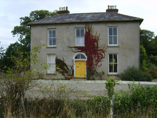 farm housefarm house · 227 yd
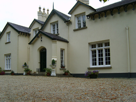 Clonhasten Housefarm house · 543 yd
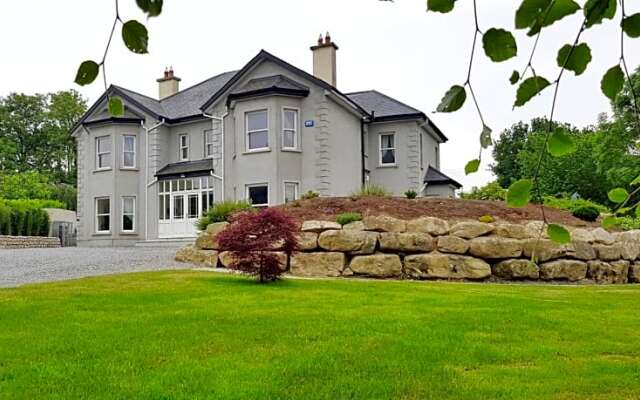 Enclosure in BlackstoopsEnclosure · 864 yd
 Stone CirclesEnclosure · 872 yd
 Battle of Vinegar Hill, 1798Monument · 994 yd
 Vinegar HillMountain / peak · 1127 yd
 U.N. Peace MemorialMonument · 1.1 mi
 Battle of Vinegar HillMajor battlefield · 1.2 mi
 Duffry GateMemorial · 1.2 mi
 National 1798 CentreMuseum · 1.3 mi
 Daphney CastleCastle, unclassified · 2.4 mi
 CastleCastle, ringwork · 3.0 mi