What is recorded here
Burial Ground (Disused) is a 17m subcircular chamber in County Cork, Ireland, marked disused on later maps yet still holding rectangular stone settings for the dead. Its loosely coursed wall rises 1.2m around a floor that slopes south, while a bullaun stone waits fifty-five metres beyond the enclosure. The place may have served an early ecclesiastical community before being abandoned, but the stones still distinguish it from ordinary waste ground.
Shown on 1892 OS 6-inch map as subcircular area, in N half of possible early ecclesiastical enclosure (CO069-083----); marked 'disused' and shown as NE quadrant of enclosure on 1904 and 1940 OS 6-inch maps. Burial ground (17m N-S) enclosed by wall of loosely set but coursed stone (H 1.2m). Interior slopes down to S; several burials marked by rectangular stone settings. Bullaun stone (CO069-053----) c. 55m S of enclosure.
The above description is derived from the published 'Archaeological Inventory of County Cork. Volume 3: Mid Cork' (Dublin: Stationery Office, 1997). In certain instances the entries have been revised and updated in the light of recent research.
Date of upload/revision: 14 January 2009
The monument record does not grant public access. Check the route and ask the landowner before entering private land.
- What survives
- Recorded monument
Places near here
 IndicatedEcclesiastical enclosure · 28 yd
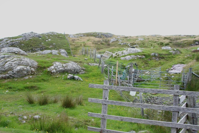 Enclosure in Cnoc SathairnEnclosure · 362 yd
 Port Ban Nature Reserve, Irish Wildlife TrustNature reserve · 1.3 mi
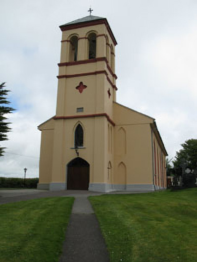 Séipéal Naomh Lachtáin [Saint Lachtáin's Catholic Church]church/chapel · 1.5 mi
 Water millWater mill, horizontal-wheeled · 1.8 mi
 European long distance path E8 - part IrelandWalking route · 2.5 mi
 CastleCastle, unclassified · 3.0 mi
 Castle (Site of)Castle, unclassified · 3.3 mi
 Kealaboane WoodWood · 3.3 mi
 Sli Gaeltacht MuscraiWalking route · 4.8 mi
 KnockullaneMountain / peak · 5.0 mi
 Cnoc na nUlánMountain / peak · 5.0 mi