What is recorded here
Locating on a broad, flat expanse of heather- and sedge-covered blanket bog, bordered at E by the valley of the Buncrowey River and at W by a small stream valley. Old turf banks traverse the area. This record was not listed in the SMR (1989). It was listed in the RMP (1995) as ‘field wall -pre-bog’: the source of this record is unknown and there is no field report from the 1990’s on file. In the RMP (1995) the location was recorded as IG 140670 330660 (equating to ITM 540634 830667). This location as depicted on the 1913 OS 6-inch map is featureless and it is likely that the co-ordinates listed in the RMP (1995) were approximate only. An inspection was carried out in 2014. No trace of the field wall was found at the location of the RMP (1995) co-ordinates or elsewhere in this area. The location of the field wall remains unknown.
Compiled by: Jane O'Shaughnessy
Date of upload: 30 July 2014
The monument record does not grant public access. Check the route and ask the landowner before entering private land.
- What survives
- Recorded monument
Places near here
 Field boundary in BuncroweyField boundary · 291 yd
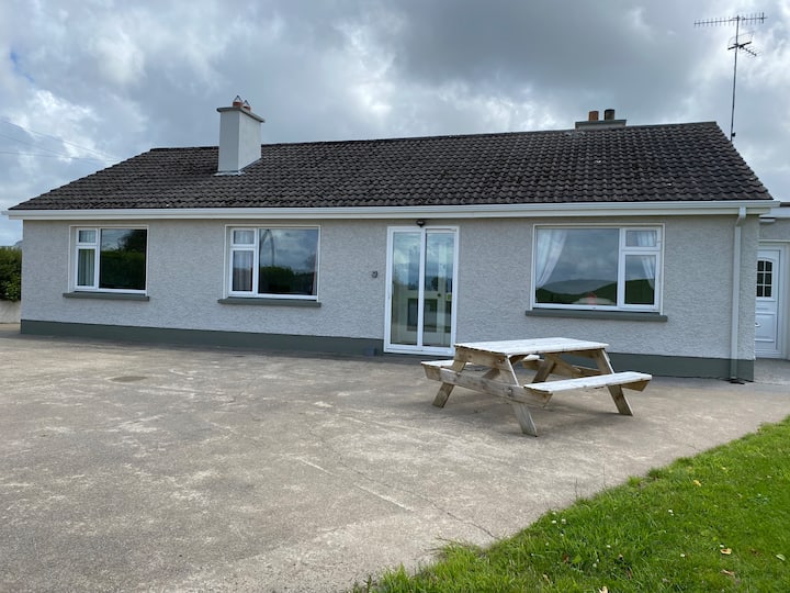 Habitation site in BuncroweyHabitation site · 788 yd
 Camphill Househouse · 1682 yd
 Dromore West Union WorkhouseRuins · 1.3 mi
 Ballynahowna CastleCastle, tower house · 1.7 mi
 Site of Dunneill CastleCastle, unclassified · 2.1 mi
 Split RockNamed rock · 3.4 mi
 DonaghHeadland · 3.5 mi
 Jim Smith MemorialMemorial · 4.7 mi
 Wild Atlantic Way: Easky PierVisitor information · 4.8 mi
 Eamonn's TopMountain / peak · 5.7 mi
 AnnatoranMountain / peak · 6.0 mi