
What is recorded here
Locating in a flat expanse of cutaway blanket bog, bordered at SW-N by pasture fields.
This possible field wall consists of a gapped, single row of stones which can be traced for 9m on a NNE–SSW axis, with another short section extending from the SSW end for 3.5m to S. The stones of the NNE–SSW section are more fully exposed and relatively close-set, with maximum dimensions in the range of 0.4-0.8m, and height of up to 0.45m. The stones of the shorter N–S section barely protrude above the bog surface.
Compiled by: Jane O'Shaughnessy
Date of upload: 16 July 2014
The monument record does not grant public access. Check the route and ask the landowner before entering private land.
- What survives
- Recorded monument
Places near here
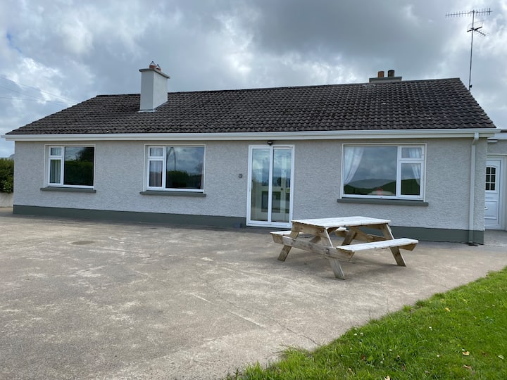 Habitation site in BuncroweyHabitation site · 635 yd
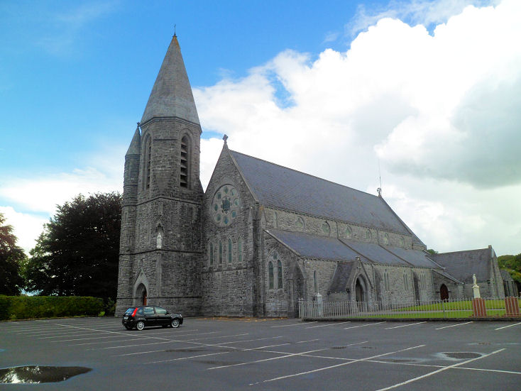 IndicatedEnclosure · 1143 yd
 Camphill Househouse · 1.1 mi
 Dromore West Union WorkhouseRuins · 1.4 mi
 Ballynahowna CastleCastle, tower house · 1.8 mi
 Site of Dunneill CastleCastle, unclassified · 2.1 mi
 Split RockNamed rock · 3.5 mi
 DonaghHeadland · 3.5 mi
 Jim Smith MemorialMemorial · 4.8 mi
 Wild Atlantic Way: Easky PierVisitor information · 5.0 mi
 Eamonn's TopMountain / peak · 5.5 mi
 Sruffaungarve TopMountain / peak · 5.8 mi
Other information
Photo: Credit not shown in the picture search · Rights wording not checked; contact us if this picture should be removed