What is recorded here
On an elevated area of rough, wet pasture, which is cut by land drains and watercourses, 65m W of a townland boundary with Ballyvoneen. Not depicted on OSi historic maps. Ring-barrow (LI024-014002-) and enclosure (LI024-014001-) are 12m to NW and 65m to W, respectively. Monument surveyed by the ASI in 2008 and described as a low profile circular-shaped area (9.4m N-S; 9m E-W) defined by a scarp (Wth 0.65m; H 0.05-0.15m) and external fosse (Wth 1.8-1.9m; D 0.1-0.17m). The interior has an E-facing slope and is grass covered. Monument is visible as a much larger oval-shaped cropmark (25m N-S; 20m E-W) on Google Earth orthoimage taken 18/11/2018.
See attached Google Earth orthoimage taken 18/11/2018.
Compiled by: Alison McQueen and Vera Rahilly
Date of upload: 16 October 2020
A Neolithic ring-barrow, dating to approximately 3500–2500 BCE, representing an early form of burial monument significant for understanding prehistoric funerary practices in the region. Its association with an enclosure suggests ritual or communal activity.
The monument record does not grant public access. Check the route and ask the landowner before entering private land.
- What survives
- Recorded monument
Places near here
 Enclosure in LinfieldEnclosure · 854 yd
 Enclosure in LisheenEnclosure · 902 yd
 Church in LinfieldChurch · 1023 yd
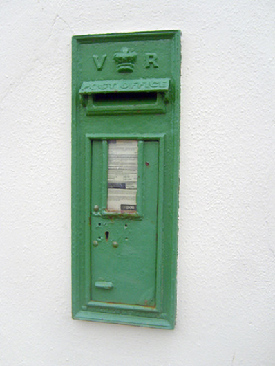 post boxpost box · 1353 yd
 (Site of) Nicker CastleCastle, unclassified · 1383 yd
 KnockseefinMountain / peak · 1525 yd
 Kilduff Castle (in ruins)Castle, tower house · 1.3 mi
 ToberagaddySpring · 1.4 mi
 St. Patrick's WellSpring · 3.7 mi
 Kilteely HillMountain / peak · 4.1 mi
 Graveyard in AbingtonGraveyard · 4.9 mi
 Flat cemetery in Knockainy WestFlat cemetery · 8.1 mi