What is recorded here
Fairy fort / earthen ringfort in Brockagh is a fairy fort or earthen ringfort in Brockagh, County Westmeath, Ireland. This raised circular area, with a diameter of approximately 41 metres on a northeast to southwest axis, sits on a slight natural rise surrounded by gently undulating grassland. The site is enclosed by two earthen banks and an intervening fosse, featuring a substantial inner bank, a wide and deep ditch, and a low outer bank. A possible entrance gap is recorded at the northeast, while a field fence runs along the outer bank at the west and northwest, with another ringfort located 250 metres to the west-northwest.
Situated on a slight natural rise, surrounded by gently undulating grassland, with good views of the surrounding countryside. Ringfort (WM012-171---) 250m to WNW. A raised circular shaped area (approx. diam. 41m NE-SW) enclosed by two earthen banks and an intervening fosse. The inner bank is substantial, the fosse is wide and deep and the outer bank is low. There is a possible entrance gap at NE. A field fence forming the townland boundary with Culleenmore runs along the line of the outer bank at W and NW.
See attached profile of monument surveyed and drawn by the ASI.
Compiled by: Frank Coyne and Caimin O'Brien
Date of upload: 9 March 2018
The monument record does not grant public access. Check the route and ask the landowner before entering private land.
- What survives
- Recorded monument
Places near here
 Partially hachuredFairy fort / ringfort · 345 yd
 IndicatedCastle, tower house · 753 yd
 Long PlantingForest · 1246 yd
 OutlinedFairy fort / earthen ringfort · 1459 yd
 Ballynegall HouseRuins · 1662 yd
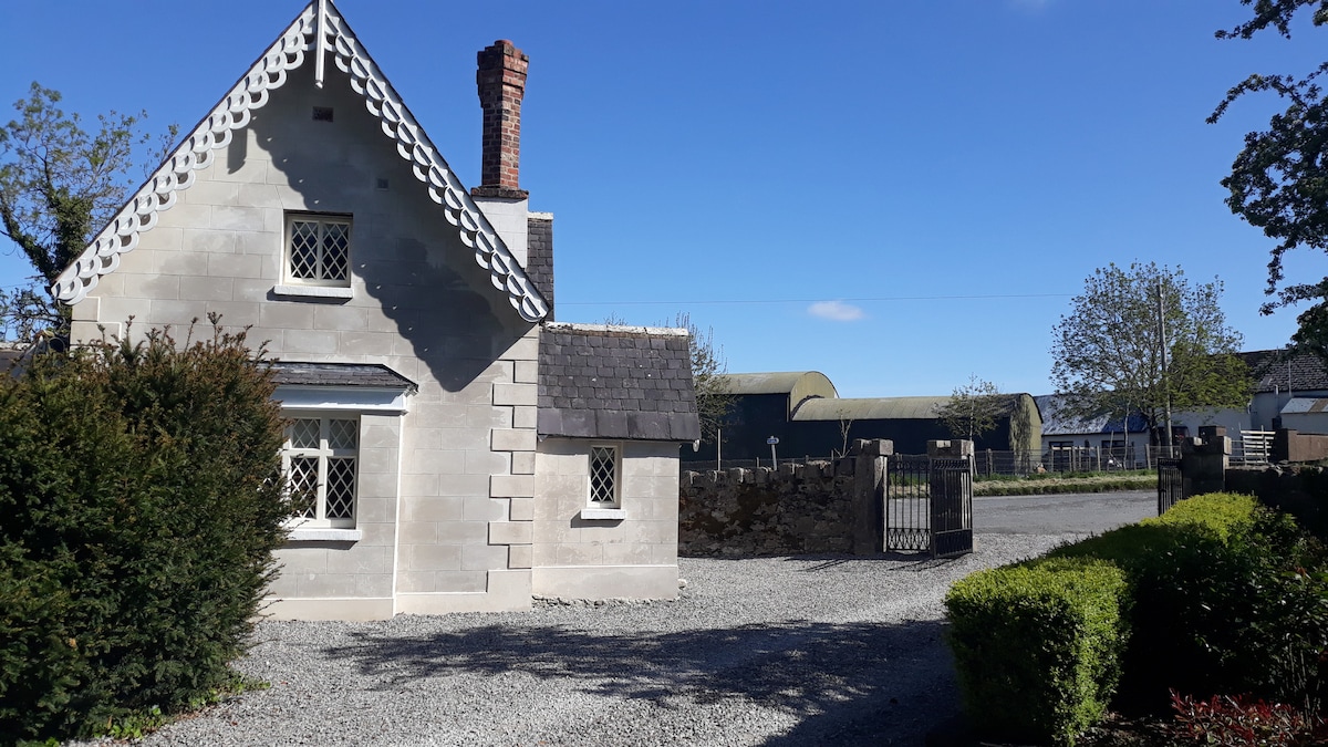
 Knockdrin Castlegate lodge · 1702 yd
 Church IslandIsland · 1.1 mi
 Castle (in Ruins)Castle, tower house · 1.1 mi
 Scragh Bog Nature ReserveNature reserve · 1.1 mi
 Saint Brigid's WellSpring · 1.2 mi
 Srudarra IslandIslet · 1.8 mi
 United Nations War MemorialMemorial · 1.9 mi