What is recorded here
Nine stones and a cliff edge form a shallow D on a wet Donegal slope, watching two lakes without revealing whether they stored grain, buried someone or marked a boundary. One upright triangular stone stands at the west like a forgotten pointer, while the rest lie scattered across rough ground. The shape resists explanation, inviting people to project memory, fear or love onto its silence.
On an E-facing slope in rough mountainous terrain, overlooking Lough Crumbane. At the base of a low rocky cliff face on an E-facing slope overlooking Lough Croangar and Lough Crumbane. Rough mountainous terrain. Approximately D-shaped area (dims. 5.1m E-W; 3.25m N-S). The straight side is formed by a cliff face; the remainder by 9 stones. Just one, at WSW, is upright. This is roughly triangular in profile tapering progressively to a point (L 0.5m; H 0.75m). There is no indication of an entrance. The nature and function of this feature cannot be determined with any degree of confidence on the basis of the upstanding remains.
Compiled by: Patrick F. O'Donovan
Date of upload: 28 June 2012
The monument record does not grant public access. Check the route and ask the landowner before entering private land.
- What survives
- Recorded monument
Places near here
 Crolly WaterfallWaterfall · 1.9 mi
 Loch an Iúir Stone RingfortFairy fort / stone ringfort · 2.9 mi
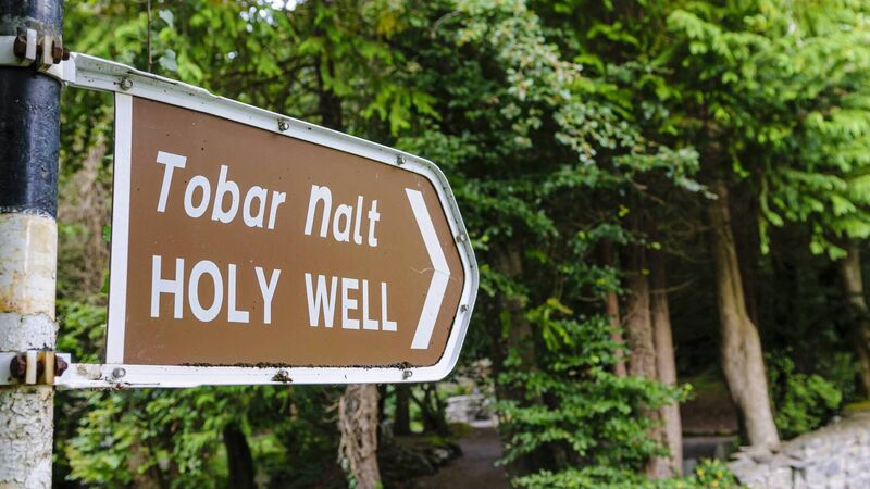 Holy well in Doire Na CoradhHoly well · 3.5 mi
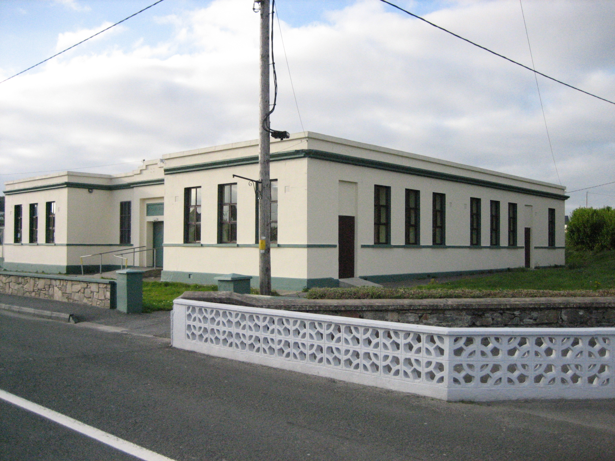 Coláiste Mhuireschool · 3.6 mi
 icehouseicehouse · 3.6 mi
 CrockfaddaMountain / peak · 3.9 mi
 An tOileán DubhIslet · 4.0 mi
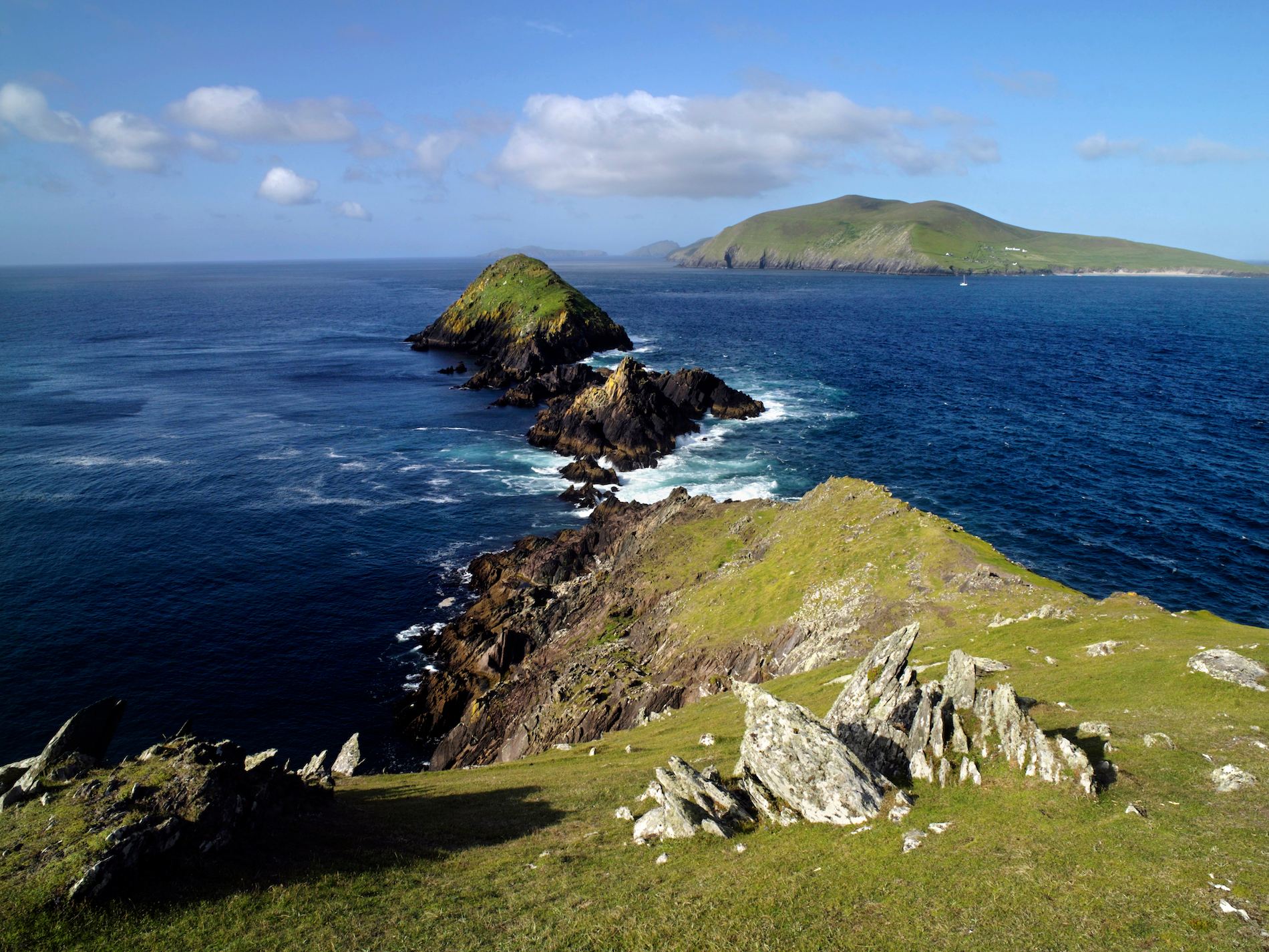 Brush IslandsIslet · 4.1 mi
 Crockfadda North-East TopMountain / peak · 4.4 mi
 Lough Barra Bog Nature ReserveNational nature reserve · 4.9 mi
 Meenachullion Nature ReserveNational nature reserve · 5.9 mi
 Dunlewey CentreHeritage attraction · 6.0 mi