What is recorded here
Situated on a fairly level landscape. The cropmark of a small enclosure (diam. c. 8m) defined by a wide fosse (Wth c. 2-3m) is visible on Google Earth (12/07/2013). It is also visible as a parched feature on Google Earth (14/07/2018) and was first reported by Anthony Murphy.
Compiled by: Michael Moore
Date of upload: 10 July, 2019
The monument record does not grant public access. Check the route and ask the landowner before entering private land.
- What survives
- Recorded monument
Places near here
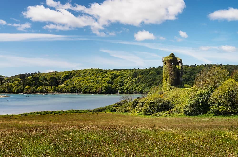 Walshs RaheenFairy fort / earthen ringfort · 836 yd
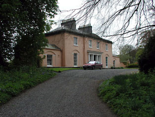 Galtrim Housecountry house · 1.0 mi
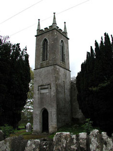 Saint Mary's Church (Galtrim)church/chapel · 1.1 mi
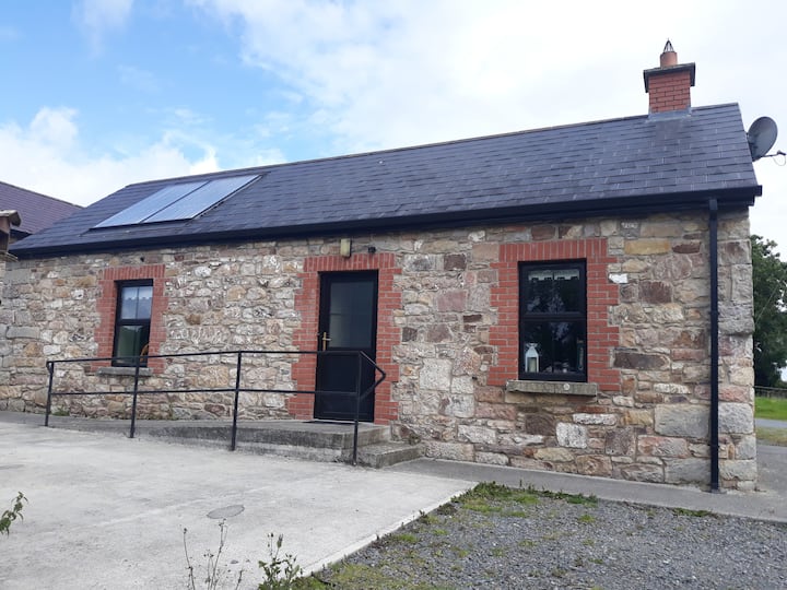 Enclosure in WindtownEnclosure · 1.2 mi
 Galtrim MoatCastle, motte · 1.2 mi
 IndicatedBawn · 1.9 mi
 Railway Woods (North)Forest · 2.2 mi
 Duck Pond WoodWood · 2.5 mi
 Battle of Tara (Ireland)Major battlefield · 4.7 mi
 Battle of Tara Hillbattle · 4.7 mi
 Saint Patrick'sMemorial · 4.9 mi
 Tara Open StudioGallery · 4.9 mi