What is recorded here
Identified as the cropmark of a fosse of a circular enclosure (diam. c. 30m) on an aerial photograph (CUCAP AVL084, 15 July 1968), though only the N half of the enclosure is visible. A field boundary runs NE-SW through the S portion of the enclosure. Also visible as cropmarks on this aerial photograph are another roughly circular enclosure (KK024-049----) c. 220m to the NW and another enclosure (KK024-050----) c. 120m to the NNW, as well as the cropmarks of modern field boundaries, indicated on the 1899-1902 map but subsequently levelled.
See attached:
KK024-051----_01 aerial photograph (CUCAP AVL084, 15 July 1968)
Compiled by: Jean Farrelly
Date of upload: 29 September 2021
The monument record does not grant public access. Check the route and ask the landowner before entering private land.
- What survives
- Recorded monument
Places near here
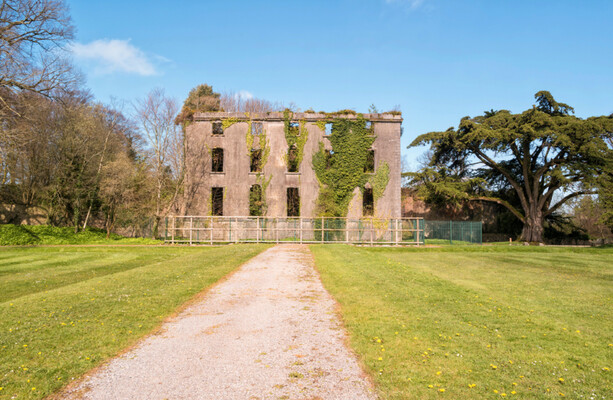 Enclosure in BramblestownEnclosure · 155 yd
 Red BogForest · 317 yd
 Enclosure in Dungarvan (gowran By., Bennettsbridge Ed)Enclosure · 476 yd
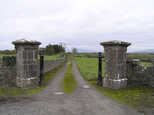 gates/railings/wallsgates/railings/walls · 908 yd
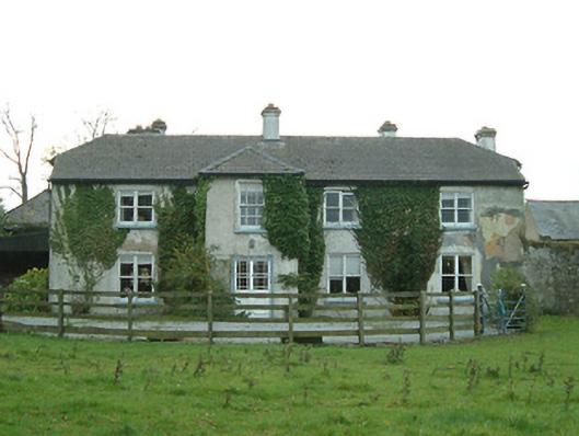 Cloghala Housefarmyard complex · 1302 yd
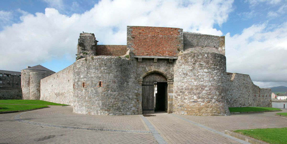 Site of Dungarvan CastleCastle, tower house · 1719 yd
 CastleCastle, motte · 1.1 mi
 The Pey FieldForest · 1.3 mi
 Tullaherin Church and Round TowerVisitor information · 2.3 mi
 Kilbline GraveyardArchaeological place · 3.3 mi
 Time CapsuleMemorial · 4.0 mi
 St. Mogarra’s WellSpring · 5.6 mi