What is recorded here
In pasture, at the base of a NW-facing slope bordering a broad, flat expanse of bogland and c. 20m E of a river. A spread of heat-shattered stones and dark soil defined by an arc of scarp (C 14m; H 0.6m) SSW-N and merging with the surrounding ground elsewhere. It is truncated by a field boundary and drain at NNE. A fulacht fia (SL038-140----) and a burnt spread (SL038-142----) lie c. 140m to S and c. 130m to N respectively.
The above description is derived from the published 'Archaeological Inventory of County Sligo' compiled by Ursula Egan, Elizabeth Byrne, Mary Sleeman with Sheila Ronan and Connie Murphy (Dublin Stationery Office, 2005).
Date of upload: 18 January 2008
Burnt mound in Brackcloonagh is a Bronze Age ritual or industrial site, characterized by heat-shattered stones and associated with domestic or ceremonial activities. Its location near a river and bogland suggests it may have had a functional or symbolic role in the local landscape.
The monument record does not grant public access. Check the route and ask the landowner before entering private land.
- What survives
- Recorded monument
Places near here
 Fulacht fia in BrackcloonaghFulacht fia · 162 yd
 IndicatedField system · 233 yd
 Church (in Ruins)Church · 1071 yd
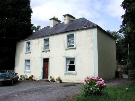 Killandy Househouse · 1410 yd
 Tymon's HillMountain / peak · 1554 yd
 Castle (in Ruins)Castle, tower house · 1.1 mi
 Ballyfahy Castle (in Ruins)Castle, unclassified · 1.9 mi
 ElderElder · 3.2 mi
 European ashEuropean ash · 3.5 mi
 Muckelty HillMountain / peak · 3.7 mi
 Brother WalfridMemorial · 3.8 mi
 Caves of KeshCave · 6.4 mi