What is recorded here
Identified from an aerial photograph (Bruff Survey: Map 22, Bruff 51) and described by Doody (2008, 130) as an 'oval ditched enclosure, 75m x 60m NE-SW, with possibe internal bank. Possible second ditch; interior appears to be raised'; the morphology of this enclosure indicates that it may be Bronze Age in date (ibid.).
Compiled by: Denis Power
Date of upload: 6 November 2013
The monument record does not grant public access. Check the route and ask the landowner before entering private land.
- What survives
- Recorded monument
Places near here
 Enclosure in Fanningstown (smallcounty By.)Enclosure · 213 yd
 Enclosure in Boherload,carnaneEnclosure · 630 yd
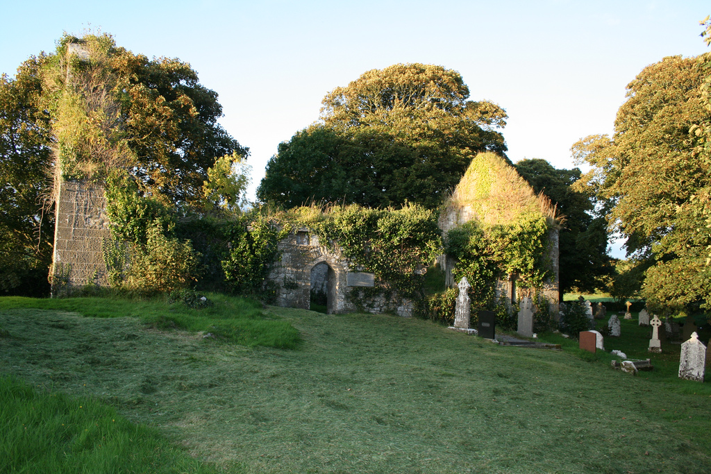
 Church (in ruins)Church · 806 yd
 Boherload Househouse · 882 yd
 ToberauillinSpring · 1256 yd
 Bawn in Raheen (clanwilliam By., Roxborough Ed)Bawn · 1434 yd
 Partially indicatedBawn · 1598 yd
 Carnane RockNamed rock · 1696 yd
 Villiers WellSpring · 2.0 mi
 Skool HillMountain / peak · 2.3 mi
 Grange Stone CircleArchaeological place · 5.2 mi
 Monasteranenagh AbbeyHeritage attraction · 5.4 mi