What is recorded here
Two cabins are depicted on the Down Survey map (1655-8) of Drinagh parish in NLI (ms 725, microfilm P 7384, N 6380) at Begganstown, which is now Bogganstown Lower, where according to the terrier or commentary, William Rochford owned 20 acres. The location of this structure is not precisely known.
See the attached section of the Down Survey (1656-8) parish map (N at right) reproduced courtesy of the National Library of Ireland (Ms 725)
Compiled by: Michael Moore
31 May, 2013
The monument record does not grant public access. Check the route and ask the landowner before entering private land.
- What survives
- Recorded monument
Places near here
 bridgebridge · 381 yd
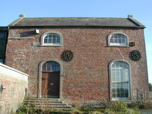 engine houseengine house · 399 yd
 St. Helens WellHoly well · 961 yd
 Site of CastleCastle, unclassified · 1306 yd
 Fulacht fia in StrandfieldFulacht fia · 1.1 mi
 BirdlifeVisitor information · 2.0 mi
 James Stevens Lifeboat MemorialMemorial · 2.0 mi
 16th Irish DivisionMemorial · 2.5 mi
 Irish Agricultural MuseumMuseum · 2.6 mi
 Johnstown Castle Visitor CentreHeritage attraction · 2.6 mi
 American SweetgumAmerican Sweetgum · 2.6 mi
 Douglas-firDouglas-fir · 2.6 mi