
What is recorded here
Enclosure in Blessington is a circular rath at the NW base of Saddle Hill, preserved in County Kilkenny and first mapped as a bare field in 1839. By 1900 a boundary had closed its north-west gap, suggesting people still recognised the shape even when stone or turf had slipped from sight. The river runs fifty metres south, carrying rain and memory eastward past grass, scrub and the quiet claim of a place set apart.
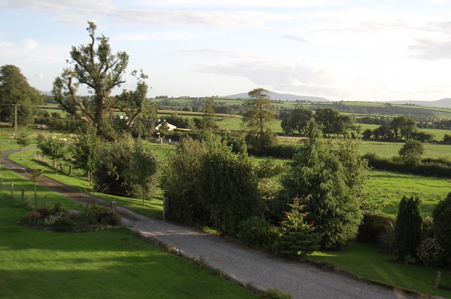
At the NW base of Saddle Hill with a river c. 50m to the S, flowing eastward. According to Carrigan (1905, vol. 4, 274), In Mr. Sheehy’s land, in Blessington, is a great “raw,” or rath [KK028-036----] … East of this, at the base of Saddle Hill, and also in Mr. Sheehy’s land, is another very large circular “raw.”. It is indicated as a roughly circular field (diam. c. 66m) on the 1st (1839) ed. OS 6-inch map with no enclosing element in the NW quadrant. On the later 1900-01 revision a field boundary is indicated running NE-SW across the perimeter of the NW quadrant. On satellite imagery (Digitalglobe 2011-13, accessed 8 March 2022) the enclosure is visible as a small grass-covered field with trees and scrub growing on the enclosing element.
Compiled by: Jean Farrelly
Date of upload: 8 March 2022
The monument record does not grant public access. Check the route and ask the landowner before entering private land.
- What survives
- Recorded monument
Places near here
 Saddle HillMountain / peak · 630 yd
 Ogham stone in Fiddaun UpperOgham stone · 1259 yd
 Site of Kilkieran CastleCastle, unclassified · 1698 yd
 St. Kierans WellHoly well · 1.2 mi
 CastleCastle, tower house · 1.2 mi
 Church in CloghscreggChurch · 1.2 mi
 Fiddaun Bridgebridge · 1.4 mi
 Fox CovertForest · 2.1 mi
 Barleagh WoodForest · 2.1 mi
 CroghanMountain / peak · 2.3 mi
 James FrenyMemorial · 2.8 mi
 Graveyard in InistiogeGraveyard · 2.8 mi
Other information
Photo: Credit not shown in the picture search · Rights wording not checked; contact us if this picture should be removed