What is recorded here
Fairy forts are not fairy forts. They are human ringforts, circular defensive settlements from the medieval period, misnamed later because people stopped understanding what they were. In Belpatrick the earthwork remains: a sub-circular bank enclosing nearly fifty metres of interior, its entrance gap still marked at the north-east. The name is a confession of forgotten knowledge. The shape is the fact.
The following description is derived from both the published 'Archaeological Inventory of County Louth' (Dublin: Stationery Office, 1986) and the 'Archaeological Survey of County Louth' (Dublin: Stationery Office, 1991). In certain instances the entries have been revised and updated in the light of recent research.
Date of upload/revision: 17 July 2007
Sub-circular area (int. dims. 49.2m E-W, 42m N-S) enclosed by earthen bank (Wth 4.5m, H 0.5m internally, 1.5m externally) with possible entrance gap (Wth 2m) at NE. Interior disturbed by cultivation ridges and tree-planting.
The monument record does not grant public access. Check the route and ask the landowner before entering private land.
- What survives
- Recorded monument
Places near here
 The White Horse FortFairy fort / earthen ringfort · 1016 yd
 Belpatrick FortEnclosure · 1610 yd
 Site of Old CastleCastle, unclassified · 1.1 mi
 Mount OrielMountain / peak · 1.5 mi
 Cloghar WoodForest · 1.7 mi
 Slieve BreaghMountain / peak · 1.9 mi
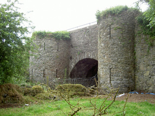 bridgebridge · 2.4 mi
 Church in CollonChurch · 2.4 mi
 Valley WoodWood · 2.8 mi
 Irish Military Museum And ParkMuseum · 3.2 mi
 Mellifont AbbeyHeritage attraction · 4.1 mi
 MoatCastle, motte · 4.3 mi