
What is recorded here
Located at the tip of a slight W-E spur. This rath is depicted faintly on the 1836 edition of the OS 6-inch map where it is annotated as ‘The White Horse Fort’, although only the last word is in gothic script while the same annotation is entirely in gothic script on the 1908 edition. It is a subcircular grass-covered and slightly raised area (dims 34m E-W; 29m N-S) defined by a gentle, scrub-covered scarp (at NW: Wth 7m; H 0.7m; at SE: Wth 4.5m; H 0.9m) with a slight fosse (at NW: Wth of top c. 8m; ext. D 0.2m) ESE-W-NNW. The scarp is incorporated into a field bank and the fosse into an outer drain NNW-ESE, and the original entrance is not identified.
The above description is derived from the published 'Archaeological Inventory of County Meath' (Dublin: Stationery Office, 1987). In certain instances the entries have been revised and updated in the light of recent research.
Compiled by: Michael Moore
Date of upload: 10 July 2007
Amended: 3 August 2022, 15 December 2022
The monument record does not grant public access. Check the route and ask the landowner before entering private land.
- What survives
- Recorded monument
Places near here
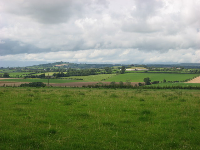 IndicatedEnclosure · 1640 yd
 Belpatrick FortEnclosure · 1699 yd
 Site of Old CastleCastle, unclassified · 1.0 mi
 Cloghar WoodForest · 1.1 mi
 Mount OrielMountain / peak · 1.3 mi
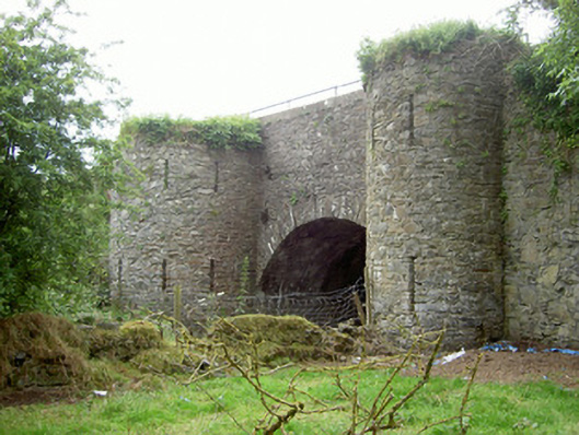 bridgebridge · 1.8 mi
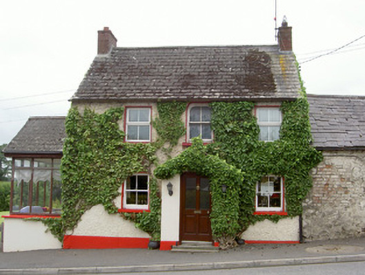 Forge Househouse · 1.8 mi
 Pedunculate OakPedunculate Oak · 2.4 mi
 Black HillMountain / peak · 2.6 mi
 Irish Military Museum And ParkMuseum · 2.6 mi
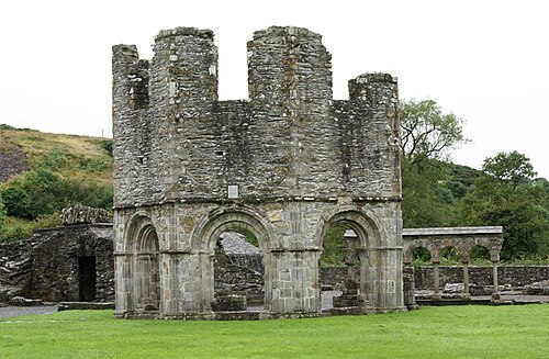 Mellifont AbbeyHeritage attraction · 3.5 mi
 Drummond TowerCastle · 3.8 mi
Other information
Photo: Credit not shown in the picture search · Rights wording not checked; contact us if this picture should be removed