
What is recorded here
Nothing visible marks the Cahermoyle burial ground anymore, yet a farm trackway still cuts across the hill where nineteenth-century surveyors drew a circular grave. The land has been reclaimed for pasture and working sheds, turning ancient death into ordinary traffic. What was elevated and set apart has become a surface for wheels and shadow, remembered only because someone wrote it down before the soil forgot.
In reclaimed pasture, on gentle W-facing slope in undulating terrain. Sub-rectangular area (13.5m N-S; 13.9m E-W) defined by scarped edge (H 0.5m). Scarp disturbed at NW due to dump of earth and stones; mature ash tree growing along top at WSW. Uneven interior covered by nettles.
Compiled by: Denis Power
Date of upload: 26 August 2011
The monument record does not grant public access. Check the route and ask the landowner before entering private land.
- What survives
- Recorded monument
Places near here
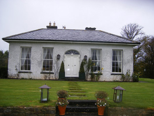 Fort William Housecountry house · 851 yd
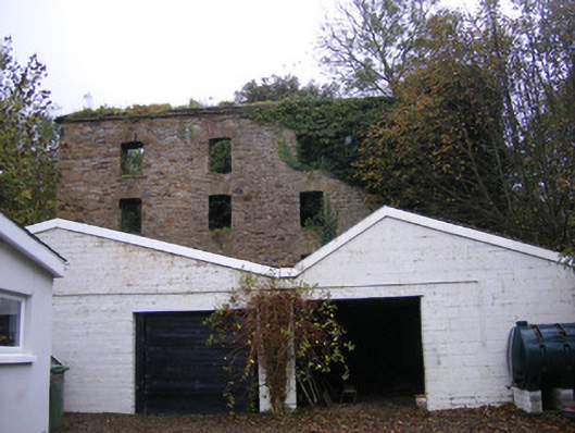 mill (water)mill (water) · 986 yd
 Castle (in ruins)Castle, tower house · 1124 yd
 Lissamota CastleCastle · 1144 yd
 Johns WellHoly well · 1720 yd
 Holy well in CloontempleHoly well · 1.1 mi
 Famine stoneMemorial · 2.1 mi
 KnockfeerinaMountain / peak · 2.7 mi
 Flat cemetery in Kiltenan SouthFlat cemetery · 2.8 mi
 LaghtpatrickSpring · 3.2 mi
 Lady's WellSpring · 3.3 mi
 European ashEuropean ash · 3.8 mi
Other information
Photo: Credit not shown in the picture search · Rights wording not checked; contact us if this picture should be removed