
What is recorded here
Ivymother claims Woodstock now, dragging her green arms across thirty feet of ruined wall to smother the stones that resisted her for centuries. She does not break what she touches; she swallows it whole, pulling the castle downward into earth and memory until no human hand can separate flesh from stone. What resistance remains inside the green is not death but transformation, the tower house becoming a living body that breathes through leaf and root instead of mortar and iron.
Woodstock (Bodastóic) Castle stands today in a woodland area on the townland boundary with Rylanes. Moated Site (LI029-148---) in field 210m to NNE. Mill race of 'Old Mill' (LI029-116----) runs past the castle immediately to W with mill building 355m to S.
Westropp (1906-7, 224) recorded the following details about Woodstock known in medieval times as Bodastóic; '1583 J. Roe Lacye held Boddestocke C[astle]. (Peyton, p. 59); or Ric. Mac Tho. Reylie, who held Bodestoick C[astle]. and mill [LI029-116----] when he joined Desmond's rebellion. He had mortgaged it for forty milch cows and their calves to J. Creagh (Inq. Exch, 11, 16). 1611 Rob. Cullum granted Bostocke C[astle]. to H. Billingsley, Alderman, of London, and the latter to Jas. Golde (Inq. Chan, 6b). 1641 W. Cullum, of Bodestow, "with souldyrres," is stated by T. Southwell to have half-hanged and thrown into the Deel E. Harding (Dep, 268). 1655 Woodstocke and Cahyreenossa, W. Cullum (C.S, p. 41) granted, and, in 1668, confirmed to J. Odell (Act Sett.).'
Castle remains described in the Ordnance Survey Letters for Ballingarry parish as following; 'It measures twenty one feet ten inches [6.65m] by fifteen feet nine inches [4.8m], the walls being about thirty five feet high [10.6m] at present and five feet ten inches [1.8m] in thickness. The first stone arch remains. This building looks very old and is all covered with ivy' (OSL).
Compiled by: Caimin O’Brien
Date of upload: 31 May 2020
The monument record does not grant public access. Check the route and ask the landowner before entering private land.
- What survives
- Recorded monument
Places near here
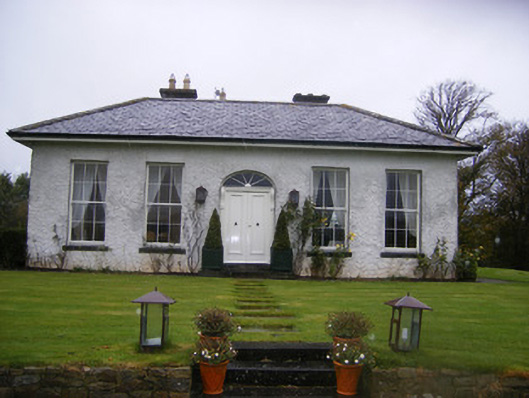 Fort William Housecountry house · 361 yd
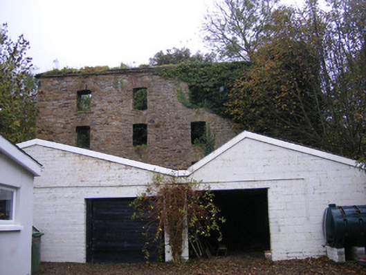 mill (water)mill (water) · 381 yd
 Hachured (1923).Castle, motte · 790 yd
 Johns WellHoly well · 885 yd
 Burial GroundBurial ground · 1124 yd
 Lissamota CastleCastle · 1522 yd
 Famine stoneMemorial · 1.5 mi
 KnockfeerinaMountain / peak · 2.1 mi
 Flat cemetery in Kiltenan SouthFlat cemetery · 3.0 mi
 LaghtpatrickSpring · 3.4 mi
 Lady's WellSpring · 3.4 mi
 European ashEuropean ash · 4.3 mi
Other information
Photo: Credit not shown in the picture search · Rights wording not checked; contact us if this picture should be removed