What is recorded here
In wooded area, on NW-facing marshy slope. Spring well consists of a muddy pool of water (1.6m N-S; 2m E-W) with large ash tree overhanging at SE verge. A small boulder partially blocks well outlet at N creating drinking area for cattle (D 0.3m). Ash tree was noted in 1840 when well described as ''reputed holy' (OSL, vol. 2, 25); no devotions noted at well in 1950s (Ó Danachair 1955, 204). See attached photos taken in 1954 by Caoimhín Ó Danachair, courtesy of and © National Folklore Collection, UCD. The Photographic Collection, F025.21.00383 accessible online at www.duchas.ie/en/cbeg/24527; F025.21.00382 accessible online at www.duchas.ie/en/cbeg/17057 and F025.21.00384 accessible online at www.duchas.ie/en/cbeg/24528.
From the National Monuments Service (Archaeological Survey of Ireland) record LI029-112
The monument record does not grant public access. Check the route and ask the landowner before entering private land.
- What survives
- Recorded monument
Places near here
Photo credits
- National Inventory of Architectural Heritage
- Mike Searle, Wikimedia Commons · CC BY-SA 2.0
- Colin Park, Geograph · CC BY-SA 2.0
- Willow, Wikimedia Commons · CC BY 2.5
- Mike Searle, Geograph · CC BY-SA 2.0
- SteveODowd, Wikimedia Commons · CC BY-SA 4.0
- Created by Kglavin Modified Aug 2007 by Mike Christie, Wikimedia Commons · CC BY-SA 3.0
- Harold Strong, Geograph · CC BY-SA 2.0
- A.-K. D., Wikimedia Commons · CC BY-SA 4.0
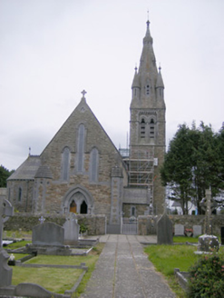 Catholic Church of Our Lady of the Immaculate ConceptionChurch/chapel · 408 yd
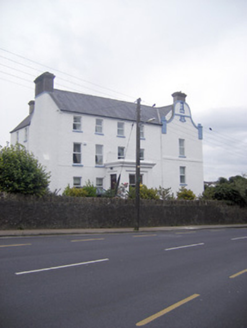 The TurretHouse · 417 yd
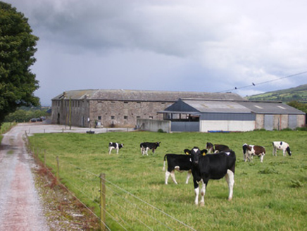 Grove HouseStables · 486 yd
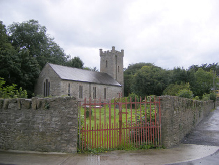 Ballingarry ChurchChurch/chapel · 517 yd
 Lissamota CastleCastle · 1.4 mi
 KnockfeerinaMountain / peak · 2.1 mi
 European ash4.2 mi
 Castle MatrixCastle, tower house · 5.1 mi
 Dysert AenghusaHeritage attraction · 5.6 mi
 Ardagh FortArchaeological place · 8.9 mi
 National Co-op MuseumMuseum · 9.7 mi
 Saint Ite's WellSpring · 11 mi
More archaeology and monuments in County Limerick · All of County Limerick
What do you know about this place?