
What is recorded here
Cloheenafishoge Castle stood at the southeast angle of a square bawn on a hill crest in County Tipperary, but time and robbery reduced it to a short line of rubble. The land still holds the ghost of its shape, visible only when crops grow uneven under sunlight. Whatever life moved inside that lost rectangle has vanished, leaving behind a boundary drawn in soil rather than stone.
On the N edge of a low natural ridge on the crest of a hill in rolling pasture. The castle (TS081-024----) is depicted on the 1st ed. OS 6-inch map (1840) as the 'Site of Cloheenafishoge Castle'. Only a short length of walling aligned N-S, of limestone and sandstone rubble, has survived. Both the internal and external faces have collapsed or been robbed. There is no visible evidence of any other remains. On the OS ortho image a roughly square bawn (dims. c. 47m N-S; c. 51m E-W) is visible as a cropmark, with the castle occupying the SE angle.
Compiled by: Jean Farrelly
Date of upload: 3 November 2015
The monument record does not grant public access. Check the route and ask the landowner before entering private land.
- What survives
- Recorded monument
Places near here
 Knockane Castle ruinsCastle · 1152 yd
 Enclosure in Parkaderreen (shanrahan Par.)Enclosure · 1748 yd
 IndicatedBawn · 1.0 mi
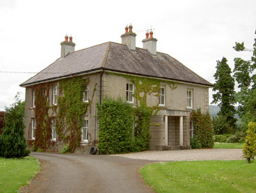 Kilcoran Househouse · 1.1 mi
 Enclosure in KilroeEnclosure · 1.5 mi
 Catholic Church of Our Lady and Saint Kieranchurch/chapel · 1.6 mi
 Rehill WoodForest · 1.6 mi
 Boulakennedy WoodForest · 1.7 mi
 SlieveanardMountain / peak · 3.7 mi
 LaghtshanaquillaMountain / peak · 3.8 mi
 Mitchelstown CaveCave · 4.1 mi
 Cahir CastleHeritage attraction · 5.0 mi
Other information
Photo: Credit not shown in the picture search · Rights wording not checked; contact us if this picture should be removed