What is recorded here
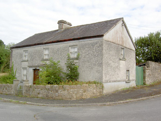
Corner-sited detached three-bay two-storey former house, built c. 1860, having flat-roofed porch to the centre of the main elevation (southwest) and canted bay window to the northwest elevation at ground floor level. Now disused. Pitched artificial slate roof with central rendered chimneystack and cast-iron rainwater goods. Pebbledashed walls over smooth rendered plinth with smooth render finish to gable apexes and a rendered eaves course. Square-headed window openings with tooled cut limestone sills and diminishing one-over-one timber sliding sash windows. Square-headed door opening with replacement timber panelled door. Timber panelled shutters visible to window interiors. Outbuildings to rear (northeast) having pitched slate roof and random rubble limestone walls. Sited on main T-junction to the southeast end of Barry, having roughly coursed limestone boundary walls with rendered piers and wrought-iron pedestrian gate to site.
This slightly unusual house, of squat almost vernacular appearance, occupies a prominent site to the southwest end of the main street, Barry. Its prominent position hints at an additional former function, perhaps as a police station or RIC barracks. It retains much of its early form, character and fabric, including timber sash windows and cut limestone sills. The position of the chimneystack and the proportions suggest that it may have been formerly thatched with a new roof structure added later, perhaps c. 1930. The canted bay window on the northwest elevation is an interesting and unusual feature. The simple outbuilding, rubble stone boundary walls and the wrought-iron gate complete the setting of this appealing composition. It is one of the few buildings in Barry that retains its early aspect and is an integral element of the built heritage of the local area.
This does not grant access. Most recorded buildings are privately owned; view them only from public ground unless the owner allows entry.
Places near here
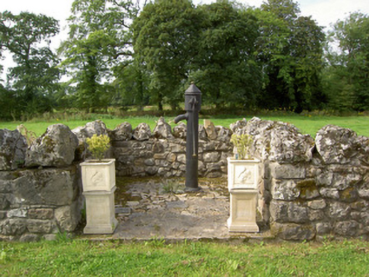 water pumpwater pump · 22 yd
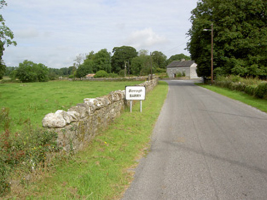 gates/railings/wallsgates/railings/walls · 25 yd
 Barry CastleCastle, unclassified · 272 yd
 Enclosure in Barry (shrule By., Ballymahon Ed)Enclosure · 921 yd
 Indicated FortFairy fort / earthen ringfort · 1444 yd
 Bawn in TirlickeenBawn · 1.3 mi
 Newcastle WoodsForest · 2.5 mi
 Corlea Bog Walk Canal BranchWalking route · 3.3 mi
 European BeechEuropean Beech · 3.5 mi
 Corlea Trackway Interpretative CentreHeritage attraction · 3.6 mi
 Corlea Bog Walk Blue LoopWalking route · 3.9 mi
 Noughaval CemeteryArchaeological place · 5.0 mi
Other information
Photo: National Inventory of Architectural Heritage · Website use allowed for educational or private purposes with source credit