What is recorded here
Situated on flat poorly drained reclaimed grassland. Outline of possible barrow (approx. diam. 6m) visible on Google Earth orthophotos taken 11/03/2014 and 18/11/2018. Not visible on Digital Globe orthophotos taken 2011-13.
See attached Google Earth orthoimages
Compiled by: Caimin O'Brien based on details provided by Alison McQueen and Vera Rahilly
Date of upload: 18 October 2020
The monument record does not grant public access. Check the route and ask the landowner before entering private land.
- What survives
- Recorded monument
Places near here
 BarrowBarrow, ring-barrow · 232 yd
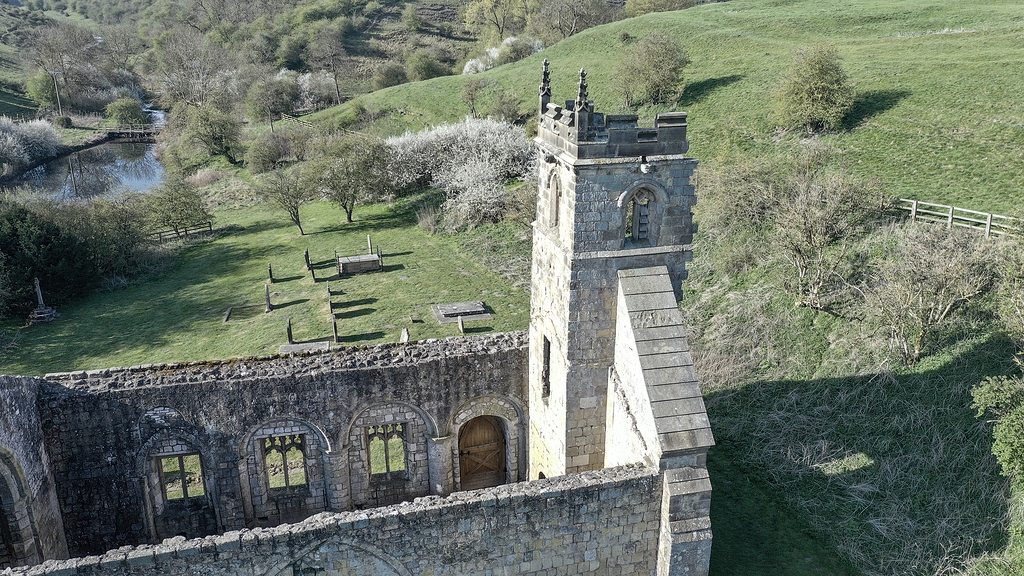 Settlement desertedSettlement deserted, medieval · 1442 yd
 Oola HillMountain / peak · 1618 yd
 Oola Castle (in ruins)Castle, tower house · 1655 yd
 Oola National Schoolschool · 1724 yd
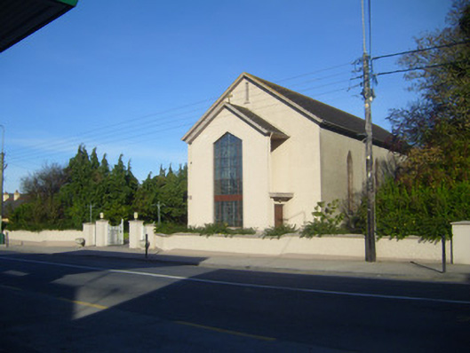 Catholic Church of the Sacred Heartchurch/chapel · 1731 yd
 Longford Castle (in ruins)Castle, unclassified · 1.1 mi
 ToberagaddySpring · 3.8 mi
 KnockseefinMountain / peak · 5.2 mi
 St. Patrick's WellSpring · 6.6 mi
 Flat cemetery in Knockainy WestFlat cemetery · 10 mi
 Enclosure in KnockphelaghEnclosure · 1692 yd