What is recorded here
Monument surveyed in 2015 and described by McGuinness (2015, 52) as following: ‘This monument, densely overgrown with thorn trees, furze and brambles, comprises a steep-sided, bowl-shaped mound (Diam. 8.5m N-S x 9.3m E-W) surrounded by a circular ditch (Diam. (overall) 14.4m N-S). Mound is mostly well preserved, although part of it appears to have been removed at S, apparently the same feature described in the ASI account as ‘a depression in the top of the mound which continues down the side on the SE, due to disturbance’ [SMR file]; possibly the site has been ransacked by treasure hunters. Where its edge is damaged on E side and the sod removed, mound can be seen to be composed of earth with some stone. Height of mound above well-preserved ditch on S side is 1.5m, but reaches 1.75m over line of filled-in ditch on E side. Where best preserved at NW and S, width of ditch is 1.8m and 3.2m respectively; the corresponding depths below ground level at these points are 0.14m and 0.60m. Although shallow and narrow on N and W sides, and not visible at all on E where it was presumably filled in when adjacent NNW-SSE-running field fence was constructed, ditch is both broad and deep on S side, at least in part due to the barrow’s location on land falling appreciably from S to N. There is no clear evidence of a bank having enclosed the ditch; possible traces of one at S are likely attributable to the natural ground rising in this direction, although the ASI account does refer to a ‘faint bank outside the fosse [which] seems to have been redug in the past’ [SMR file]. Barrow is situated in pastureland close to road. Although visibility is poor in its relatively low-lying location, with land rising immediately to S and SW, the best views are to N and W, with the striking Ben of Fore only c. 3.5km to NW’.
Compiled by: Caimin O'Brien based on details provided by David McGuinness.
Date of upload: 8 February 2016
The monument record does not grant public access. Check the route and ask the landowner before entering private land.
- What survives
- Recorded monument
Places near here
 CastleCastle, tower house · 1083 yd
 Corn Mill, Mill PondWater mill, unclassified · 1224 yd
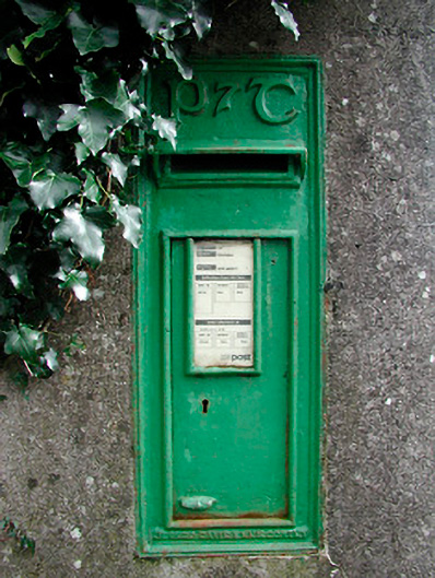 post boxpost box · 1244 yd
 Partially outlinedFairy fort / earthen ringfort · 1374 yd
 Noggin HillMountain / peak · 1498 yd
 OutlinedFairy fort / earthen ringfort · 1513 yd
 The Sloe HillMountain / peak · 1.4 mi
 The FurzeForest · 1.7 mi
 MoatCastle, motte and bailey · 1.9 mi
 South East GateHeritage attraction · 2.2 mi
 St Feichin's MillHeritage attraction · 2.3 mi
 Castle IslandIslet · 2.5 mi