What is recorded here
In flat wet pasture, with gently rising ground to SW. Visible as an oval enclosure in an aerial photograph (OSAP 6, 4083-4). The barrow lies within a dense expanse of irises and rushes and little of it is visible at ground level. A band (Wth c. 3m) of mixed rushes and irises suggests a possible fosse enclosing a roughly circular flat area (diam. c. 20m). At NW, a slight rise (Wth 3-4m) may represent an outer bank.
The above description is derived from the published 'Archaeological Inventory of County Sligo' compiled by Ursula Egan, Elizabeth Byrne, Mary Sleeman with Sheila Ronan and Connie Murphy (Dublin Stationery Office, 2005).
Date of upload: 18 January 2008
A ring-barrow, likely dating to the Early Bronze Age. Its location suggests it may be part of a wider funerary landscape, though its specific significance remains unclear due to poor visibility and lack of detailed excavation.
The monument record does not grant public access. Check the route and ask the landowner before entering private land.
- What survives
- Recorded monument
Places near here
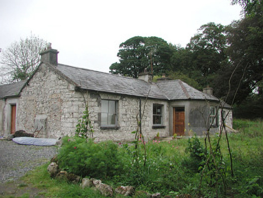 Somertonhouse · 538 yd
 Enclosure in Rathnarrow (o'hara)Enclosure · 875 yd
 R. C. ChapelChurch · 1100 yd
 Indicated (1838).Enclosure · 1207 yd
 European ashEuropean ash · 1.2 mi
 IndicatedBawn · 1.3 mi
 ElderElder · 1.3 mi
 RathdoonyCastle, motte · 2.4 mi
 Brother WalfridMemorial · 3.4 mi
 Tullaghan HillMountain / peak · 3.9 mi
 CroaghaunMountain / peak · 4.6 mi
 James MorrisonMemorial · 5.0 mi