What is recorded here
On a slight E-facing slope in rolling pasture and is conjoined to a second slightly larger ring-barrow (TS058-088----) to the SSE. Circular area (diam. 4m) defined by an earthen scarp (Wth 0.6m; H 0.1m) with a shallow fosse (Wth at base 0.6m; D 0.05m) and an external earthen bank (overall Wth 2.2m; Wth at top 1m; H 0.1m). The external bank is absent SW-NW where the line of a now removed N-S orientated field boundary abuts the W edge of the barrow. The interior slopes slightly facing E and is clear of overgrowth.
Compiled by: Jean Farrelly
Date of upload: 26 August 2011
A Neolithic ring-barrow; part of a small barrow group, indicating early ceremonial or funerary practices in the region.
The monument record does not grant public access. Check the route and ask the landowner before entering private land.
- What survives
- Recorded monument
Places near here
 Aughaclareen Bridgebridge · 604 yd
 Field system in Ballynagrana (emly Par.),moanmore (emly Par.)Field system · 1058 yd
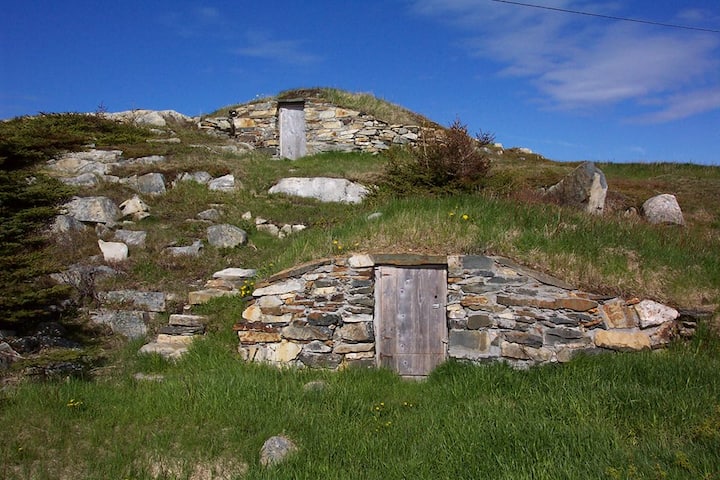 Enclosure in Kilross (clonbeg Par.)Enclosure · 1365 yd
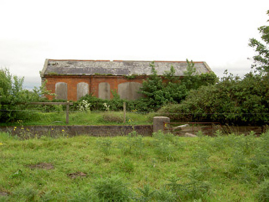 Emly Railway Stationstore/warehouse · 1753 yd
 Carn (site of)Cairn, burial cairn · 1.2 mi
 Glebe Ho.Castle, unclassified · 2.1 mi
 Ryves CastleCastle, unclassified · 2.7 mi
 Saint Patrick's WellSpring · 3.6 mi
 St Patrick's WellSpring · 3.8 mi
 Knockanebrack HillMountain / peak · 4.9 mi
 SlievereaghMountain / peak · 5.9 mi
 Flat cemetery in Knockainy WestFlat cemetery · 6.0 mi