
What is recorded here
In pasture 35m E of the townland boundary with Glen. Ring-barrow (LI024-242----) located 15m to E while a group of four ring-barrows are located 80m to S. Not depicted on the OS maps. Identified by Bruff aerial photographic survey in 1986 (Bruff 58(01); AP 4/3681) as a circular cropmark. Visible as circular shaped hollow on Google Earth orthoimage taken 18/11/2018 which shows a modern drainage ditch 7m to SE.
See attached Bruff aerial survey image labelled Bruff 58(01).
Compiled by: Martin Fitzpatrick
Date of upload: 23 July 2020
Ring-barrow, likely dating to the Early Bronze Age. Its location within a cluster of similar barrows suggests a significant burial or ritual landscape.
The monument record does not grant public access. Check the route and ask the landowner before entering private land.
- What survives
- Recorded monument
Places near here
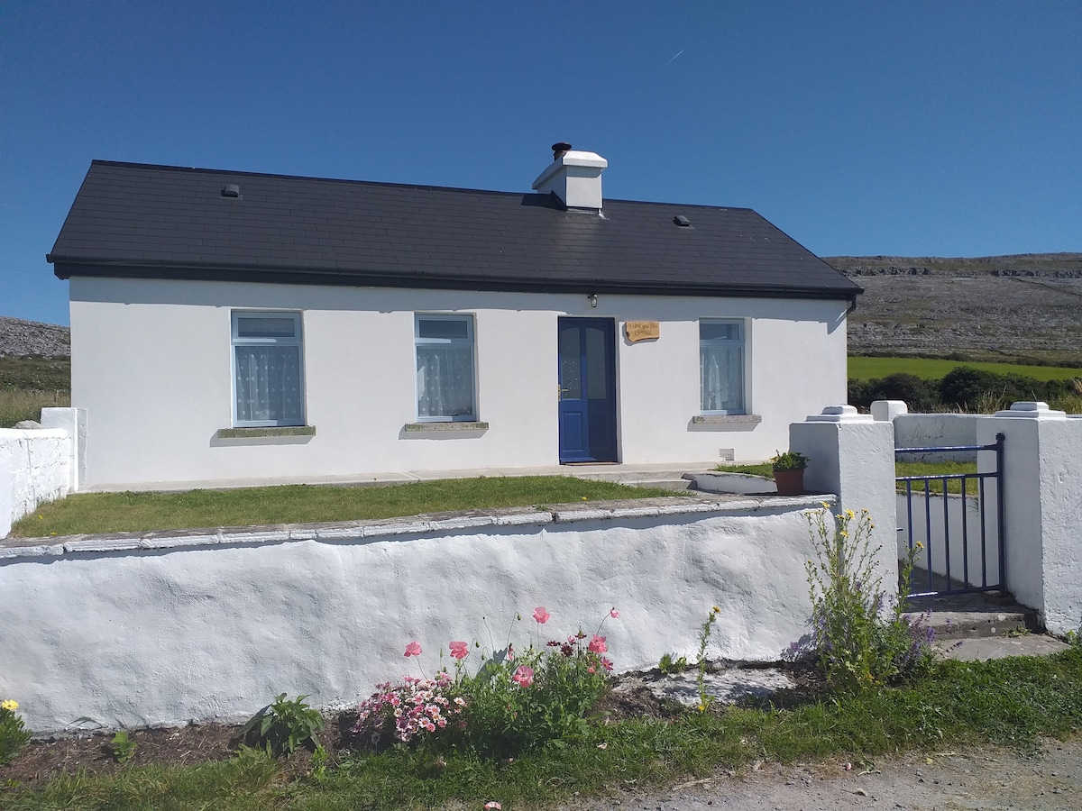 Hut site in Glen (clanwilliam By.)Hut site · 218 yd
 Burial mound in KnockgreanBurial mound · 752 yd
 KnockseefinMountain / peak · 1153 yd
 (Site of) Nicker CastleCastle, unclassified · 1557 yd
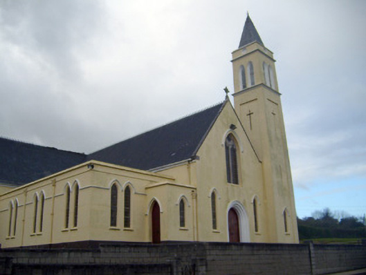 Catholic Church of Saint John the Baptistchurch/chapel · 1675 yd
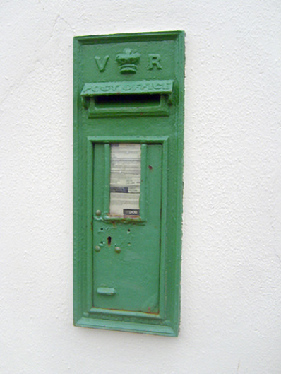 post boxpost box · 1710 yd
 Pallas MoatCastle, motte · 1.3 mi
 St. Patrick's WellSpring · 2.2 mi
 Kilteely HillMountain / peak · 2.7 mi
 Flat cemetery in Knockainy WestFlat cemetery · 6.6 mi
 St Patrick's WellSpring · 8.8 mi
 Ballinvreena LoopVisitor information · 12 mi
Other information
Photo: Credit not shown in the picture search · Rights wording not checked; contact us if this picture should be removed