
What is recorded here
On SE-facing slope of Knockgrean, in coniferous forestry, 60m SE of a townland boundary with Glen. Not depicted on OSi historic maps. Monument described by O’Dwyer (1959, 78) as following; 'As this monument now stands, it is a low mound about 70' [21m] in diameter and about 3' [0.9m] high. It may be a severely destroyed platform earthwork or some form of barrow or burial mound. No stones show through the turf and there is no evidence of a surrounding ditch'. Monument visited by the ASI in 2008 but were unable to gain access to monument due to impenetrable forest plantation. Monument is visible as an oval-shaped area (35m NW-SE; 30m NE-SW) situated within a forestry exclusion zone as seen on OSi orthoimage taken 2005-2012, on Digital Globe orthoimage taken 2011-201, and on Google Earth orthoimage taken 28/06/2018.
See attached profile drawn by O’Dwyer in 1959 and Google Earth orthoimage taken 28/06/2018.
Compiled by: Alison McQueen and Vera Rahilly
Date of upload: 29 September 2020
The monument record does not grant public access. Check the route and ask the landowner before entering private land.
- What survives
- Recorded monument
Places near here
 Hut site in Glen (clanwilliam By.)Hut site · 531 yd
 Field system in Glen (clanwilliam By.)Field system · 588 yd
 KnockseefinMountain / peak · 967 yd
 (Site of) Nicker CastleCastle, unclassified · 1216 yd
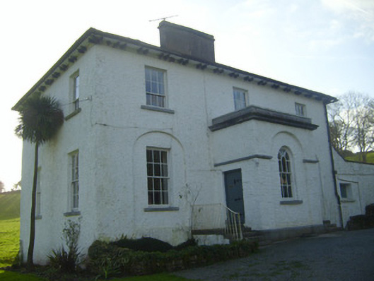 Moymore Houserectory/glebe/vicarage/curate's house · 1232 yd
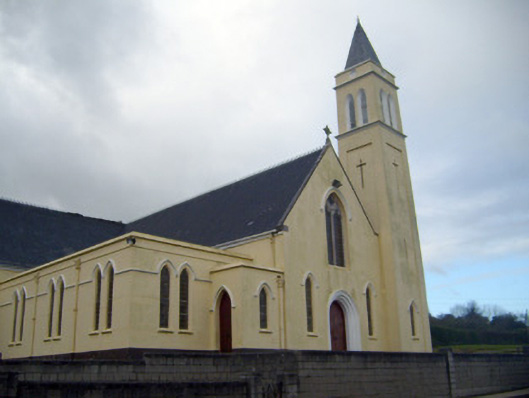 Catholic Church of Saint John the Baptistchurch/chapel · 1310 yd
 Pallas MoatCastle, motte · 1585 yd
 ToberagaddySpring · 1.8 mi
 St. Patrick's WellSpring · 2.3 mi
 Kilteely HillMountain / peak · 2.8 mi
 Flat cemetery in Knockainy WestFlat cemetery · 6.7 mi
 Ballinvreena LoopVisitor information · 12 mi
Other information
Photo: Credit not shown in the picture search · Rights wording not checked; contact us if this picture should be removed