What is recorded here
In 2004 this barrow was described as following; 'This circular mound, 15m in diameter and enclosed by a shallow, 1m-wide ditch, is located in a depression encircled by a 3m-wide counterscarp bank' (Condit and Coyne 2004).
Compiled by: Caimin O'Brien
Date of upload: 07 August 2019
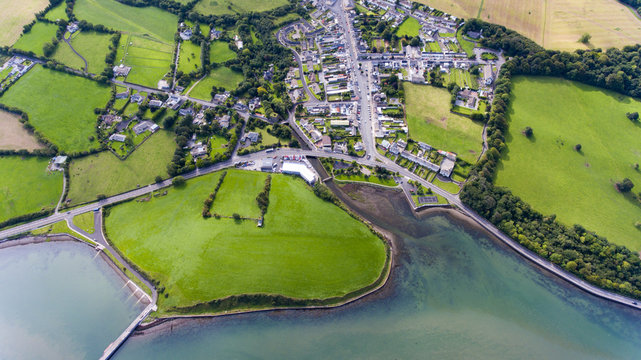
See attached ASI aerial photograph ASIAP - 303/26 date taken 13/09/2002.
Round barrow, likely dating to the Early Bronze Age. Its construction with a ditch and counterscarp bank reflects typical burial practices of the period in Ireland.
The monument record does not grant public access. Check the route and ask the landowner before entering private land.
- What survives
- Recorded monument
Places near here
 Field system in KilballyowenField system · 564 yd
 Carn of Uainide, HachuredBarrow, ring-barrow · 678 yd
 KnockainyMountain / peak · 734 yd
 Old Parochial Housepresbytery/parochial/curate's house · 1260 yd
 Knockainy Castle (in ruins)Castle, tower house · 1405 yd
 Knockainy Creamerycreamery · 1484 yd
 Kilballyowen HouseCastle, unclassified · 1581 yd
 Glen BogForest · 1.2 mi
 Flat cemetery in Knockainy WestFlat cemetery · 1.4 mi
 Kilteely HillMountain / peak · 4.5 mi
 St Patrick's WellSpring · 4.8 mi
 St. Patrick's WellSpring · 4.9 mi