What is recorded here
On a very gentle, overgrown, SE-facing slope on the Kildare Golf Course, at the NW edge of the Little Curragh. A 1970 aerial photograph (CUCAP BDU 21) shows up to 12 small circular enclosures to the S and SE of a larger enclosure (KD022-040----). A second aerial photo. (undated and unattributed-GSI?) shows these features even more clearly. Described in 1989 as a group of at least 12 small ringbarrows, difficult to discern because of tree and furze stumps and poaching by sheep, but generally small circular areas (est. av. diams. c. 6-c.10m) defined by a very shallow fosse (D 0.05-0.10m) and low outer earthen bank (H0.10m) (SMR file). The area is now almost completely overgrown with whins and the monuments (designated KD022-065001- to KD022-065012-) are no longer clearly visible at ground level. Some of these possible barrows may in fact be lunging rings.
Compiled by: Gearóid Conroy
Date of upload: 10 June 2011
A ring-barrow, likely dating to the Early Bronze Age, associated with a possible burial and situated within a broader ritual or settlement landscape indicated by the nearby enclosures. Its location on the Curragh suggests a connection to wider Bronze Age funerary practices in the region.
The monument record does not grant public access. Check the route and ask the landowner before entering private land.
- What survives
- Recorded monument
Places near here
 Enclosure in Curragh (kildare Ed)Enclosure · 472 yd
 The CurraghEarthwork · 895 yd
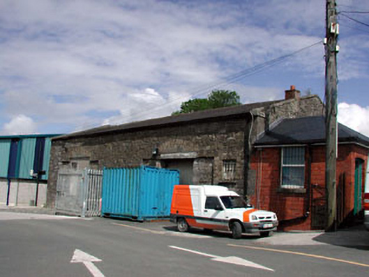 Kildare Railway Stationstore/warehouse · 1481 yd
 The Bungalowhouse · 1615 yd
 Castle in ruinsCastle, Anglo-Norman masonry castle · 1.2 mi
 CastleCastle, motte · 1.2 mi
 Saint Fiachra's GardenHeritage attraction · 1.8 mi
 Bee-bee treeBee-bee tree · 1.9 mi
 Horse MuseumMuseum · 1.9 mi
 Dawn RedwoodDawn Redwood · 2.0 mi
 Bithia Mary CrokerMemorial · 5.3 mi
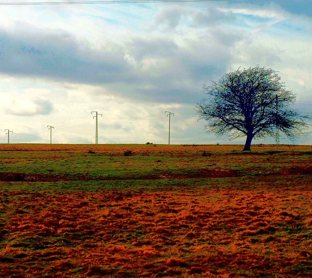 IndicatedEnclosure · 1255 yd