
What is recorded here
Visible on an aerial photograph (CUCAP BDU 21 (1970)) as a roughly circular area (est. overall diam. c. 100m) enclosed by two, and intermittently three, non-concentric fosses. May be a relatively modern feature, possibly associated with the horse industry on the Curragh.
Compiled by: Gearóid Conroy
Date of upload: 10 June 2011
The monument record does not grant public access. Check the route and ask the landowner before entering private land.
- What survives
- Recorded monument
Places near here
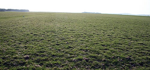 The CurraghEarthwork · 522 yd
 RatheenanairyArchaeological place · 865 yd
 bridgebridge · 1582 yd
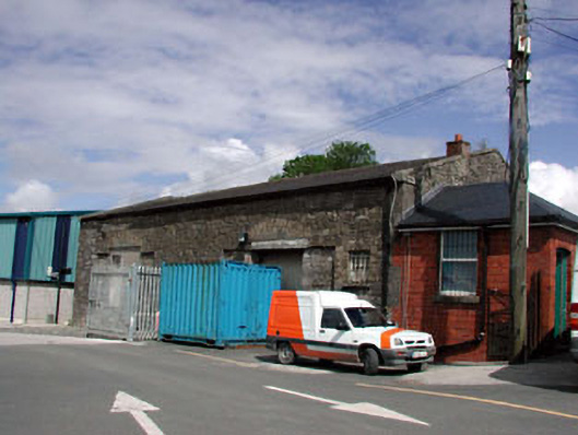 Kildare Railway Stationstore/warehouse · 1743 yd
 Castle in ruinsCastle, Anglo-Norman masonry castle · 1.3 mi
 CastleCastle, motte · 1.3 mi
 Saint Fiachra's GardenHeritage attraction · 1.8 mi
 Bee-bee treeBee-bee tree · 1.9 mi
 Horse MuseumMuseum · 1.9 mi
 Dawn RedwoodDawn Redwood · 2.0 mi
 Bithia Mary CrokerMemorial · 5.6 mi
 Grand Canal WayVisitor information · 7.4 mi
Other information
Photo: Credit not shown in the picture search · Rights wording not checked; contact us if this picture should be removed