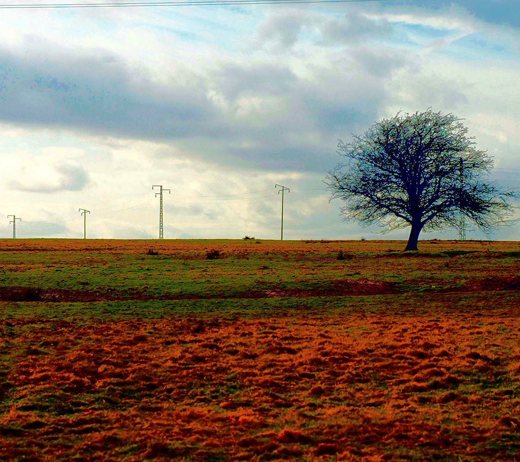
What is recorded here
On a very gentle S-facing slope at the N edge of the Little Curragh. Visible on aerial photograph (DoD, 1999). A poorly preserved rectangular area (int. dims. L 25.5m N-S; Wth 16.5m) is defined by a low earthen bank (Wth 3.5m; int H 0.1m; ext. H 0.2m) W-N-E, and by a narrow, shallow outer fosse (Wth 0.7m; D 0.1m). Broad, well defined cultivation ridges abut the enclosing element at E and cover the interior. A larger , rectangular field (dims. L 70m E-W; Wth 35m) abuts the enclosure at W and is defined by low earthen bank E-S-W and by a substantial townland boundary bank along the N. That field contains narrower, less well defined cultivation ridges. The enclosure and field may be later features, the result of taking a small portion of ground on the edge of the Curragh into cultivation.
Compiled by: Gearóid Conroy
Date of upload: 10 June 2011
The monument record does not grant public access. Check the route and ask the landowner before entering private land.
- What survives
- Recorded monument
Places near here
 Pedestal of a Cross(Called the Wart Stone)Cross, Wayside cross · 631 yd
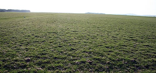 The CurraghEarthwork · 932 yd
 Religious houseReligious house, unclassified · 1271 yd
 Church in Dunmurry EastChurch · 1.4 mi
 Pollardstown Fen Nature ReserveNature reserve · 1.8 mi
 Chair of KildareCastle, unclassified · 1.9 mi
 Castle in ruinsCastle, Anglo-Norman masonry castle · 1.9 mi
 Saint Fiachra's GardenHeritage attraction · 2.5 mi
 Bee-bee treeBee-bee tree · 2.6 mi
 Horse MuseumMuseum · 2.6 mi
 Bithia Mary CrokerMemorial · 5.1 mi
 Grand Canal WayVisitor information · 6.8 mi
Other information
Photo: Credit not shown in the picture search · Rights wording not checked; contact us if this picture should be removed