What is recorded here
On the summit of a gentle hillock in gently undulating terrain, in pasture. A stream runs E-W c. 70m to the N. Identified as a circular enclosure on aerial photograph (Bruff aerial survey ref. 2090) (Doody 1993, 178). Appears to be located immediately NE of a quarry or hillock on aerial photograph (ibid.). A very subtle monument consisting of a roughly circular slightly raised mound (diam. 9m N-S; 8.8m E-W; H 0.1-0.14m) enclosed by a fosse (Wth 1.6-1.9m; D 0.07-0.1m) and outer bank (Wth 1.4m crest; 2.4m base; ext. H 0.1m). Some years ago the field had been levelled off and the monument appears to have been damaged by this activity.
Compiled by: Jean Farrelly
Date of upload: 14 March 2013
A ring-barrow, likely dating to the Early Bronze Age. Its identification from aerial photography highlights the value of such surveys in locating and understanding prehistoric burial monuments in the landscape.
The monument record does not grant public access. Check the route and ask the landowner before entering private land.
- What survives
- Recorded monument
Places near here
 Enclosure in MooresfortEnclosure · 617 yd
 Field system in Ballynagrana (emly Par.),moanmore (emly Par.)Field system · 1216 yd
 Aughaclareen Bridgebridge · 1262 yd
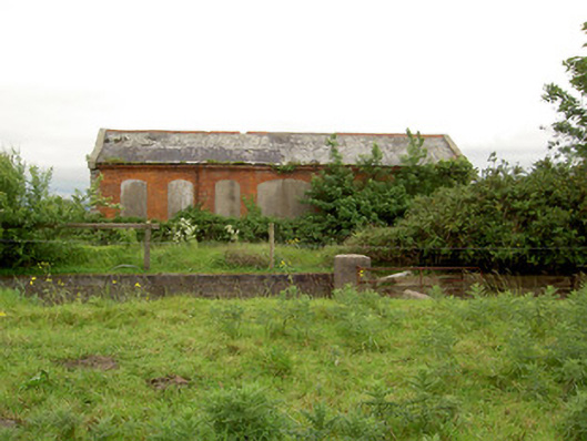 Emly Railway Stationstore/warehouse · 1707 yd
 Carn (site of)Cairn, burial cairn · 1.7 mi
 Glebe Ho.Castle, unclassified · 2.2 mi
 Ryves CastleCastle, unclassified · 3.2 mi
 Saint Patrick's WellSpring · 4.1 mi
 St Patrick's WellSpring · 4.2 mi
 Knockanebrack HillMountain / peak · 5.0 mi
 Kilteely HillMountain / peak · 6.0 mi
 Flat cemetery in Knockainy WestFlat cemetery · 6.2 mi