What is recorded here
Marked only on the 1930 ed. of the OS 6-inch map, and situated on a rise of a broad plateau. Subcircular grass-covered mound (dims 6.2m N-S; 4.5m E-W; H 0.8m at W to 1.2m at N) which may have been slightly truncated at W. Rath (RO028-039----) is c. 80m to the ENE.
Compiled by: Michael Moore
Date of upload: 24 August 2010
The monument record does not grant public access. Check the route and ask the landowner before entering private land.
- What survives
- Recorded monument
Places near here
 IndicatedFairy fort / earthen ringfort · 724 yd
 Enclosure in Ardkeenagh (plunkett)Enclosure · 736 yd
 Kilcooley Church (in Ruins)Church · 956 yd
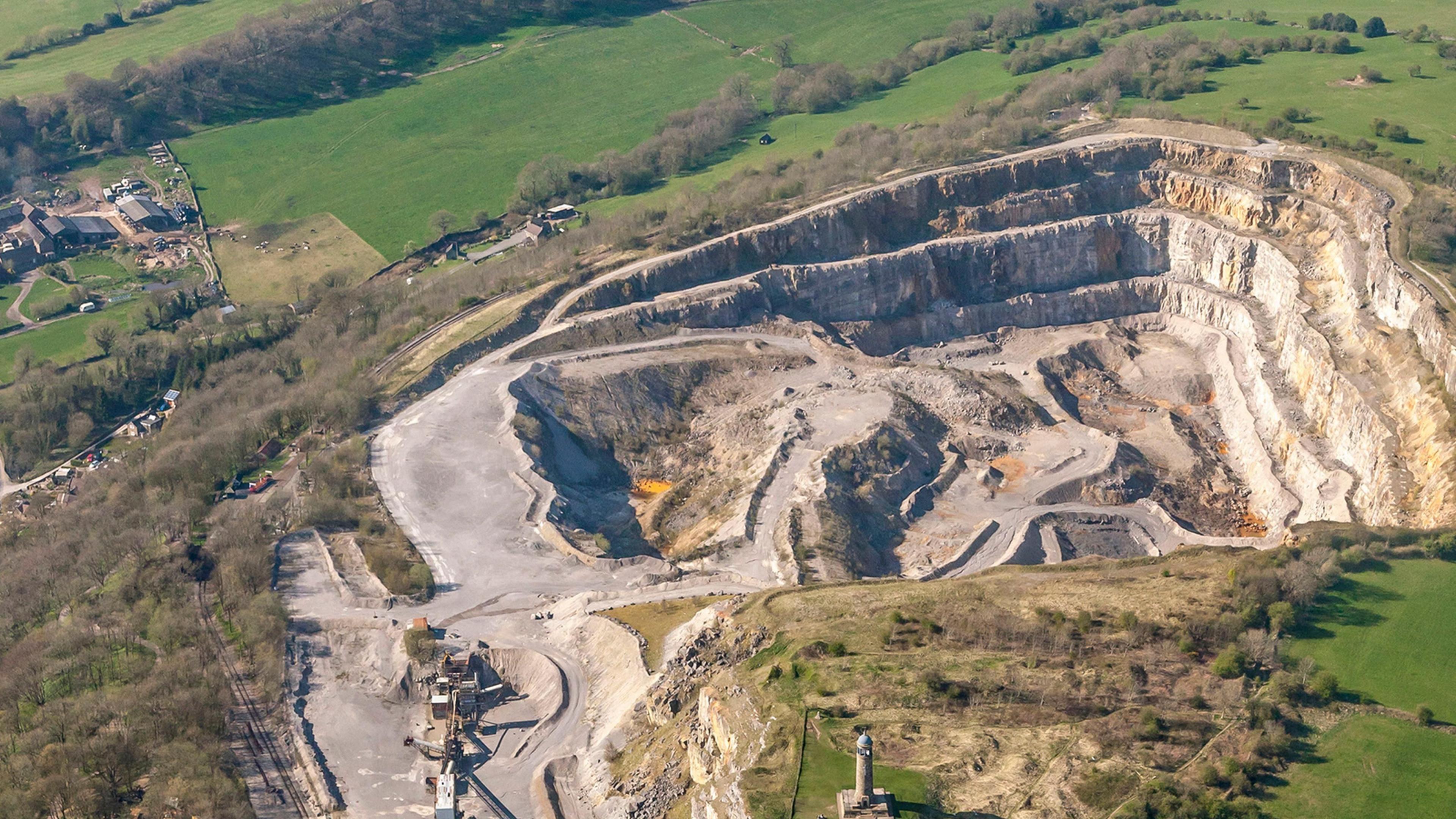 Quarry in Ardkeenagh (roscommon By.)Quarry · 1524 yd
 Cruachan Aí Heritage CentreMuseum · 1.6 mi
 CastleCastle, unclassified · 1.7 mi
 Embanked enclosureCastle, unclassified · 1.7 mi
 ToberagullaSpring · 2.4 mi
 European ashEuropean ash · 2.4 mi
 Sweet ChestnutSweet Chestnut · 4.9 mi
 Roscommon CastleCastle · 9.1 mi
 FerrinchIslet · 11 mi