What is recorded here
In reclaimed wet pasture, one of a group of eleven possible barrows (LI040-026002-; 026004-/0260013) and 50m NW of large impressive barrow (LI040-026001-). Not marked on OSi historic maps. Potential site identified as circular cropmark during examination of aerial photographs by the Discovery Programme. No surface remains visible on OSi orthophotograph taken 2005-12 or Digital Globe orthoimage taken 2011-13. No surface remains visible on Google Earth orthoimages.
See attached Bruff aerial photograph (2075) marked (No. 4) and Google Earth orthoimages.
Compiled by: Fiona Rooney
Date of upload: 15 May 2021
A Neolithic ditch barrow, part of a possible barrow group; its significance lies in its potential contribution to understanding Neolithic burial practices and landscape use in the region.
The monument record does not grant public access. Check the route and ask the landowner before entering private land.
- What survives
- Recorded monument
Places near here
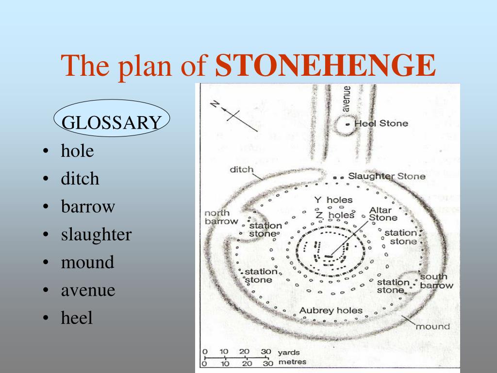 BarrowBarrow, ditch barrow · 265 yd
 Promontory fortPromontory fort, inland · 291 yd
 Ballycahill Bridgebridge · 1024 yd
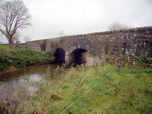 bridgebridge · 1162 yd
 Flat cemetery in Knockainy WestFlat cemetery · 1423 yd
 Desmond Castle (in ruins)Castle, unclassified · 1.1 mi
 Knockainy Castle (in ruins)Castle, tower house · 1.2 mi
 KnockainyMountain / peak · 1.6 mi
 St Patrick's WellSpring · 2.9 mi
 Edmund's WellSpring · 4.0 mi
 Kilteely HillMountain / peak · 4.5 mi
 Carn (site of)Cairn, burial cairn · 4.8 mi