What is recorded here
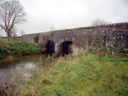
The Bridge in Knockainy East splits the Camoge round a rounded stone nose and sends it through two arches. Even a river passing Rathanny has to pick a side. God help it if there's a match on.
Two-arch road bridge over the River Camoge, built c. 1780. Coursed rubble limestone with rubble limestone copings. Tooled limestone plinth. Round-headed arches with tooled stone voussoirs. Cut limestone U-cutwaters to upstream pier.
This simple elegant road bridge exhibits some well executed limestone tooling to plinth and cutwaters. Spanning a relatively small length, it never the less exhibits the skill and engineering of local craftsmanship in the nineteenth century in Ireland and was a significant part of the infrastructural development of this area.
From the Buildings of Ireland (National Inventory of Architectural Heritage) record 21904015
This does not grant access. Most recorded buildings are privately owned; view them only from public ground unless the owner allows entry.
Places near here
Photo credits
- National Inventory of Architectural Heritage
- Dylan Moore, Geograph · CC BY-SA 2.0
- Mike Searle, Wikimedia Commons · CC BY-SA 2.0
- Colin Park, Geograph · CC BY-SA 2.0
- Hywel Williams, Geograph · Creative Commons Attribution-ShareAlike 2.0
- Colin Park, Wikimedia Commons · CC BY-SA 2.0
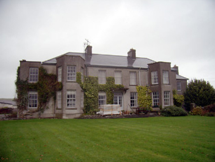 Knockainy StudCountry house · 641 ydFlat cemetery in Knockainy WestFlat cemetery · 801 yd
 post box822 yd
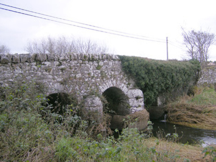 Knockainy BridgeBridge · 855 yd
 Saint John's Church (Knockainy)Mausoleum · 891 yd
 KnockainyMountain / peak · 1.0 miGlen BogForest · 2.5 mi
 Castle (in ruins)Castle, tower house · 3.5 mi
 SlievereaghMountain / peak · 6.6 mi
 Grave YardGraveyard · 6.9 mi
 Ladys WellHoly well · 7.9 mi
 Glanworth Castle (in Ruins)Castle, Anglo-Norman masonry castle · 20 mi
More historic places in County Limerick · All of County Limerick
What do you know about this place?