
What is recorded here
Situated on partially drained grassland at junction of Camoge River immediately to N with stream to SW both of which forms the townland boundary with Rathanny. Large impressive barrow (LI040-026001-) 90m to ENE. A cluster of ring-barrows (LI040-027001-005-) located immediately SE of the fort. Aerial photographs (Bruff AP 5/2101) shows a fosse (approx. L 60m) running roughly NE-SW cutting off a rectangular shaped area (approx. dims. 120m NW-SE x 60m NE-SW) bordered by the Camoge River from E-N-NW and a stream from NW-W-SW. Linear fosse cutting off neck of promontory is visible today on Digital Globe aerial photographs and on various OSI aerial photographs.
See attached Digital Globe aerial photograph taken 14/09/2019
Compiled by: Caimin O'Brien
Date of upload: 30 January 2020
See attached ASI aerial photographs ASIAP – 347/20 on 05/01/2003.
The monument record does not grant public access. Check the route and ask the landowner before entering private land.
- What survives
- Recorded monument
Places near here
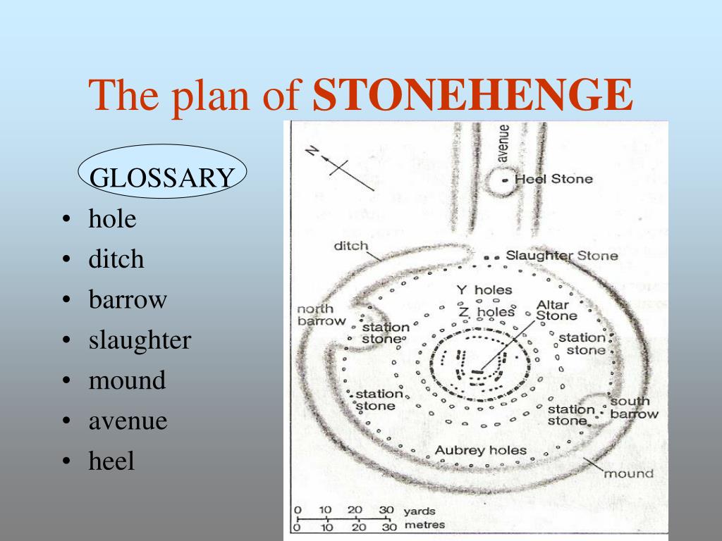 BarrowBarrow, ditch barrow · 95 yd
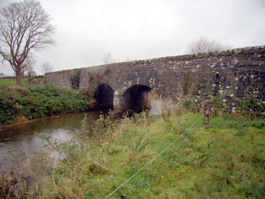 bridgebridge · 1087 yd
 Ballycahill Bridgebridge · 1189 yd
 Grave YardBurial ground · 1298 yd
 Flat cemetery in Knockainy WestFlat cemetery · 1511 yd
 Desmond Castle (in ruins)Castle, unclassified · 1.1 mi
 Knockainy Castle (in ruins)Castle, tower house · 1.1 mi
 KnockainyMountain / peak · 1.6 mi
 St Patrick's WellSpring · 2.9 mi
 Edmund's WellSpring · 3.9 mi
 Kilteely HillMountain / peak · 4.6 mi
 Ballinvreena LoopVisitor information · 4.8 mi
Other information
Photo: Credit not shown in the picture search · Rights wording not checked; contact us if this picture should be removed