
What is recorded here
Burial ground depicted as a circular-shaped area (approx. diam. 25m) shown in dotted outline on 1840 ed. OS 6-inch map. Tobergobbun or St. Gobban's Well (LI040-017----) shown 20m to N of burial ground on OS 6-inch map. Described by O'Kelly (1944, 32) as following; 'No trace survives nor is there any sign of the graveyard which is said to have surrounded it'. There is no evidence to suggest that there was ever a church inside this burial ground. A curve in the watercourse depicted on 1897 OS 25-inch map may following enclosing element of W side of burial ground.
Compiled by: Caimin O'Brien
Date of upload: 30 July 2019
A local ancient tomb; wider significance not recorded.
The monument record does not grant public access. Check the route and ask the landowner before entering private land.
- What survives
- Recorded monument
Places near here
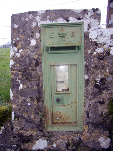 post boxpost box · 512 yd
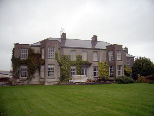 Knockainy Studcountry house · 745 yd
 Promontory fortPromontory fort, inland · 1298 yd
 Knockainy Castle (in ruins)Castle, tower house · 1310 yd
 Desmond Castle (in ruins)Castle, unclassified · 1327 yd
 BarrowBarrow, ditch barrow · 1386 yd
 Flat cemetery in Knockainy WestFlat cemetery · 1603 yd
 KnockainyMountain / peak · 1.1 mi
 St Patrick's WellSpring · 3.6 mi
 Edmund's WellSpring · 4.4 mi
 Kilteely HillMountain / peak · 4.9 mi
 Ballinvreena LoopVisitor information · 5.2 mi
Other information
Photo: Credit not shown in the picture search · Rights wording not checked; contact us if this picture should be removed