What is recorded here
In pasture, on a gentle SE-facing slope, within ring-barrow (TS066-101001-). In improved pasture on Mooresfort Estate. Roughly circular area (dims. 5.5m ENE-WSW; 4.7m WNW-ESE) defined by very low profile fosse (Wth 3m; D 0.2m).
Compiled by: Jean Farrelly
Date of upload: 26 August 2011
A ditch barrow, likely dating to the Early Bronze Age; its location within a ring-barrow suggests a ceremonial or funerary landscape of regional significance.
The monument record does not grant public access. Check the route and ask the landowner before entering private land.
- What survives
- Recorded monument
Places near here
 Mooresfort Housecountry house · 190 yd
 Enclosure in MooresfortEnclosure · 1332 yd
 Enclosure in Lattin WestEnclosure · 1424 yd
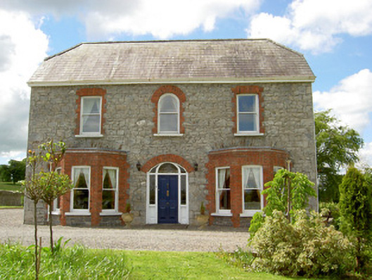 Saint Joseph'shouse · 1543 yd
 CastleCastle, ringwork · 1721 yd
 MoatCastle, motte · 2.1 mi
 Carn (site of)Cairn, burial cairn · 2.6 mi
 SlievenamuckMountain / peak · 3.0 mi
 Darby's Bed Walk LoopWalking route · 3.5 mi
 Duntryleague HillMountain / peak · 3.5 mi
 Bansha ForestForest · 4.0 mi
 Saint Patrick's WellSpring · 5.0 mi