What is recorded here
In level pasture with a barrow (TS066-090005-) located c. 50m to the SSE. Identified on aerial photograph (Bruff Survey aerial photo 5/2090). Circular slightly raised area (diam. 5m) defined by a gently sloping earthen scarp (Wth 1.6m; H 0.2m) with a flat-bottomed external fosse (overall Wth 1.6m; Wth at base 0.6m; D 0.1m). The fosse is best preserved N-ESE being shallow and difficult to trace WNW-N and ESE-SW. The fosse is not visible at ground level SW-WNW where a modern NNW-SSE orientated field boundary lies along the line of the fosse. The interior is level, dry and clear of overgrowth.
Compiled by: Jean Farrelly
Date of revised upload: 8 September 2014
A ditch barrow, likely dating to the Early Bronze Age. Its significance lies in its association with early burial practices and landscape use in the region.
The monument record does not grant public access. Check the route and ask the landowner before entering private land.
- What survives
- Recorded monument
Places near here
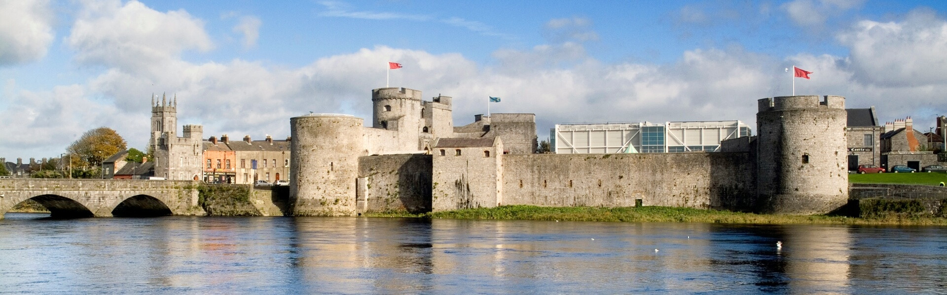
 Aughaclareen Bridgebridge · 878 yd
 TobergobinetHoly well · 994 yd
 Field system in Ballynagrana (emly Par.),moanmore (emly Par.)Field system · 1226 yd
 Carn (site of)Cairn, burial cairn · 1345 yd
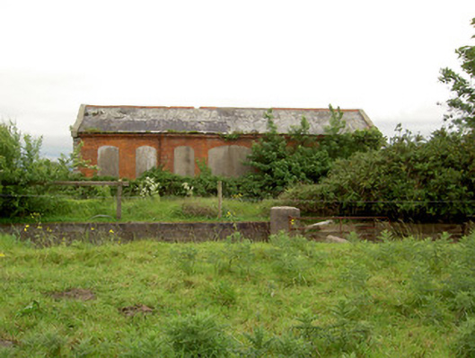 Emly Railway Stationstore/warehouse · 1.1 mi
 Glebe Ho.Castle, unclassified · 1.9 mi
 Ryves CastleCastle, unclassified · 2.3 mi
 Saint Patrick's WellSpring · 3.1 mi
 St Patrick's WellSpring · 3.4 mi
 Knockanebrack HillMountain / peak · 4.9 mi
 SlievereaghMountain / peak · 5.4 mi
 Flat cemetery in Knockainy WestFlat cemetery · 5.8 mi